
SOUTHEAST ATLANTIC
Bal Harbour Beach
fishing guide
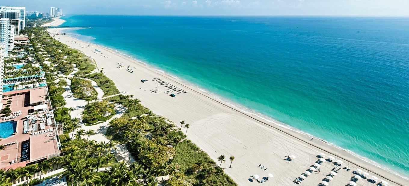
Bal Harbour Beach sits beside Baker's Haulover Inlet and a waterfront reconstruction project. Fishing planning begins with the available public route and current local permission, rather than assuming the historic jetty remains unchanged.
Explore the guide ↓Check the Harbourfront project before visiting the jetty area
Bal Harbour's historic jetty and cutwalk are part of the village's Harbourfront Park project. The published project plan describes phased construction and an anticipated 2027 completion. That schedule should not be treated as confirmation that every old fishing edge is available during the work.
The project is intended to maintain public and emergency access through phases, but the usable route can change. Ask the village or follow current signs for the section that is actually open. A photo of the former jetty does not identify today's barriers.
Construction access and fishing permission are separate questions. A walkway left open for visitors is not automatically an authorized casting platform. Confirm the activity before selecting a rod position.
Do not cross work barriers or residential property to reach water. A clear route matters before any claim about the fish near the inlet can be useful.
Keep Bal Harbour and Haulover Park distinct
Bal Harbour lies on one side of Baker's Haulover Inlet, while Haulover Park has separate county-managed fishing areas. The names are frequently used together because the water connects them. Their entrances and rules should not be merged.
The county park specifically describes designated cut and bayside fishing, with swimming and marina restrictions. It can be a more clearly defined alternative when Bal Harbour's available angling space is uncertain. Use the separate Haulover guide for that route.
Do not cast across the channel to reach a splash on the other side. Vessels need an unobstructed passage and inlet flow can carry line unpredictably. Choose a shore-side lane that remains controlled.
A nearby public beach visit can still be worthwhile without fishing. Observation helps reveal current and bait routes while leaving disputed or restricted access unused.
Look for a slow edge beside moving water
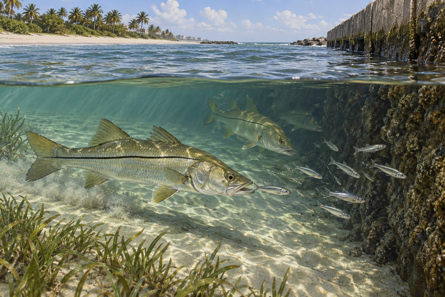
An inlet moves prey between bay and ocean water. A slower pocket beside a fast stream can give a predator room to feed. Watch foam and small fish at the actual approved position rather than aiming at the strongest current.
Snook and jacks may use suitable feeding routes. A small swimming lure can be passed through open water beside the edge when angling is permitted. Choose an angle that keeps the retrieve away from rough cover and traffic.
A natural bait drift needs attention to where the line travels. Retrieve before it disappears behind a structural corner. More weight does not correct a starting position that sends every rig into rock.
The illustration explains this general inlet relationship. It is not a map of the phased works, an exact depth view or permission to fish its pictured edge.
Use surf bait only in a confirmed beach section
If local staff confirms a suitable shore-fishing lane, clean sand can be tested for whiting or pompano habitat. Begin with small shrimp, sand fleas or firm strip bait. Keep the point exposed and the leader orderly.
Watch the nearest trough before selecting distance. A short controlled placement may reach prey moving inside a bar. Increase range only when the nearer water has been checked and a clearer lane exists farther out.
Retrieve when the sinker rolls toward bathers or a neighboring rig. Shared beach use and local boundaries remain decisive. A good seasonal pattern cannot make an occupied or unauthorized section suitable.
Check soft bait regularly for theft and weed. Simple inspections often explain a quiet rod more clearly than changing every piece of tackle.
Make a restrained lure pass through legal open water
A cruising snook should meet the lure ahead of its route. A small plug or soft plastic can be swum above bottom without repeated splash beside the fish. Adjust speed if it follows without taking the offering.
Look for bait before assuming that a structural edge holds feeding fish. A passing jack school may create only a brief opportunity. Use a compact lure within a clear safe lane and let activity move on when it reaches traffic or restricted water.
Check leaders after rough contact or a toothy strike. Keep pliers prepared and choose a place where release can be done without climbing. The fight is not the only part of the fishing method that needs planning.
Choose the plan supported by current access
The inlet's scenery can make every edge appear attractive. The practical decision is whether the route, activity permission and fish handling all fit together.
| Available situation | Useful plan | Missing detail to resolve |
|---|---|---|
| Open public walkway during work | Observe or use the permitted activity | Whether angling is authorized |
| Confirmed legal inlet-edge position | Controlled small lure or bait drift | Safe landing and vessel clearance |
| Approved clean surf lane | Compact bottom bait | Swimming boundary and local timing |
| Unclear or restricted Bal Harbour access | Choose designated Haulover fishing | County entrance and current notices |
Keep the approach simple and lawful
The village has rules for mobility devices on beach paths, the jetty and cutwalk. Check the current requirements before using an electric bike or scooter to carry fishing gear. Accessibility devices have their own protected provisions.
Use a small bag and keep hooks secured on the walking route. Do not block emergency or construction access with a cart. The ability to travel lightly is useful when a phased project changes the available space.
Verify parking at the actual entrance instead of assuming a residential or hotel space is public. Plan the return route before an evening session, particularly when the area is unfamiliar.
Choose a manageable day rather than the biggest tide
Strong inlet movement can concentrate bait while making the rig hard to control. A slower seam or shorter drift may be more practical. Watch the local current rather than treating a forecast time as a precise changeover.
Wind and waves can reach an edge that looked dry between sets. Stay on secure authorized ground and leave rough outer surfaces alone. Lightning and deteriorating conditions are reasons to end the visit promptly.
Bring water, sun protection and a dry place for keys. Keep a note of the actual open route and workable current. Check it again before returning because construction and temporary access can change.
Leave no tackle in the inlet or work area
Verify current FWC licensing and species rules before harvest. Support release fish with wet hands and avoid lifting a large catch by its leader. Prepare measuring and photography before a fish needs them.
Collect line, bait waste and packaging as you pack. A recurring snag is a reason to move or change the method. Finish through the approved route rather than using a work-site shortcut back to the car.
Common questions
Is the historic Bal Harbour jetty unchanged and fully available?
Do not assume that. The Harbourfront project describes phased reconstruction, and current signs or village guidance should determine the usable route.
Does an open walkway permit fishing?
Walking access and angling permission are separate. Confirm the activity at the chosen section before setting up.
Is Haulover Park the same entrance?
No. The county park has its own designated fishing areas and restrictions on the other side of the connected inlet setting.
Can I plan around the project's 2027 date?
It is an anticipated completion in the published plan. It does not establish that every facility or route will open on a specific date.
Prepare for your visit
Check local tides and weather. Read more about snook, florida pompano, whiting. Check current FWC saltwater fishing rules.