
PANHANDLE
WaterSound
fishing guide
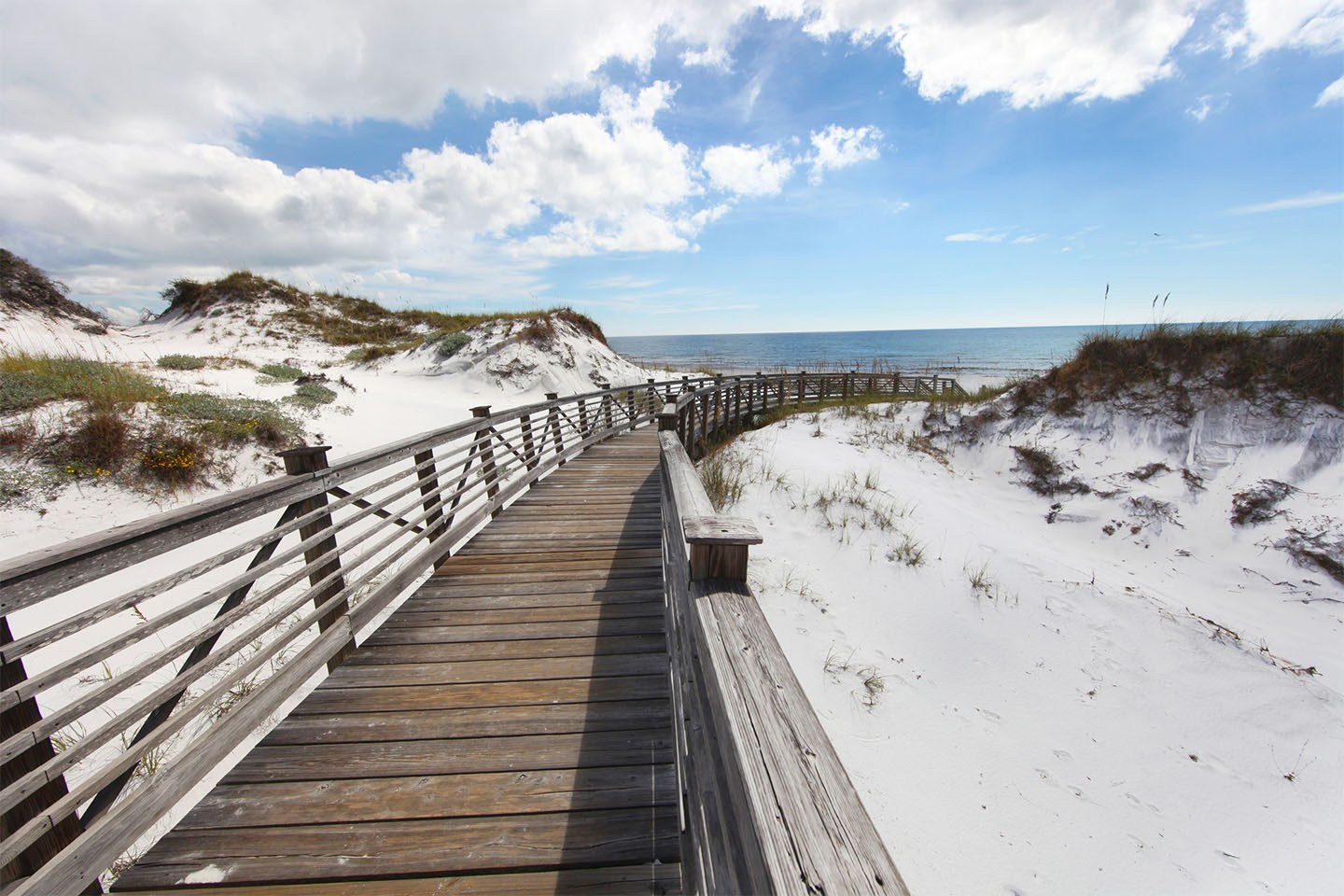
WaterSound's coastal scenery includes private community routes and managed beach-club access. A fishing plan needs a specific permission check before tackle choices. Visitors without that access can choose a separate public Gulf entry and use a careful small-bait surf approach.
Explore the guide ↓Distinguish WaterSound's separate communities and access rights
WaterSound is used for more than one managed community and activity setting in the South Walton area. The Watersound Beach Club describes its 30A beach access as private. A membership, a particular accommodation or a guest arrangement can carry specific rights, but it should not be assumed to apply everywhere sharing the WaterSound name.
Ask the manager which shoreline route is included and whether fishing is permitted within its current rules. A path access decal, dinner reservation or shopping stop is not a general beach license. Keep the answer tied to the exact community and visit date. An attractive boardwalk photograph does not establish public use or fishing permission.
Make a separate public plan when needed
The county's current public beach map identifies designated Gulf entries along the wider 30A coast. Seagrove regional accesses and Inlet Beach are options to investigate, depending on your starting point. They are separate destinations with their own parking, boundaries and present conditions. Choose one before loading a large tackle cart.
Nearby Deer Lake State Park offers another possible Gulf environment after its current closure ends. Check reopening directly rather than assuming a park beside a managed beach is available. A private WaterSound route cannot be used as a shortcut to bypass a closed park or avoid a crowded public entrance.
Treat a lake view as scenery until access is confirmed
Coastal dune lake scenery is part of the area's appeal, including the Camp Creek Lake setting. A visible lake bank or a boardwalk beside water does not automatically authorize casting. Identify the manager and ask about the specific position, method and current conditions before turning a lake view into a fishing recommendation.
Do not move through protected plants to reach a bank, dig a lake opening or assume every dock is a fishing platform. Dune lakes can have changing coastal connections and fish conditions. A confirmed public Gulf plan may be simpler and better supported than an improvised inland session near a managed community.
Read the permitted surf from the sand
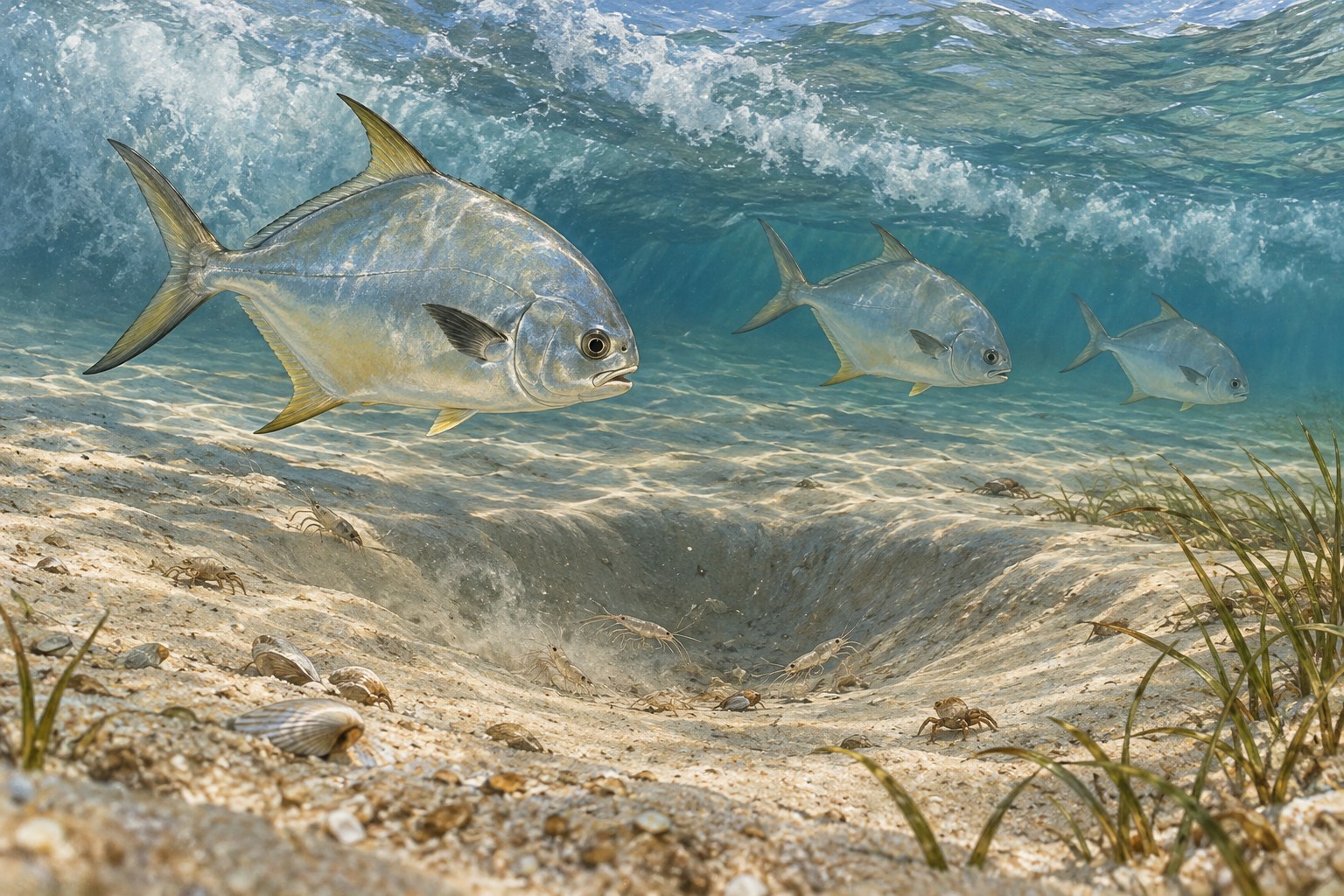
On an authorized or separate public Gulf frontage, watch where waves repeatedly break over a shallow bar. A smoother trough alongside it can provide a feeding route for small surf fish. Begin with an accurate modest cast into observable water rather than treating maximum distance as the main objective.
Several wave sets reveal more than one dark patch. Light changes and stirred sand can mimic depth. A gap through the bar may move prey but can also carry water offshore. Keep your position on secure land and do not follow that channel into the surf to improve casting range.
Offer food-sized bait for ordinary surf targets
Whiting and seasonally passing pompano are reasonable Gulf sand possibilities. Small shrimp pieces, sand fleas and compact bait strips can test their interest. Match the hook to the offering and leave the point available. A large soft mass can turn, hide the hook or be stripped rapidly by small feeders.
Keep the reserve cool during transport and place only a little in the working tray. Inspect the rig periodically even without a dramatic bite. When the hook comes back empty, shorten the checking interval or try a tougher offering. When bait remains intact, compare another clear trough range without changing every part of the setup.
Carry tackle that fits the confirmed route
Private boardwalks and public alternatives can both involve long walks, soft sand and shared paths. Choose one manageable outfit and a compact essentials bag. Secure hooks before walking around families and cyclists. Match the sinker to the surf and rod rating, and check line condition before increasing weight.
Pliers, an accurate measuring aid and closed waste storage make handling easier. Take enough drinking water for the return journey. The table separates access evidence from fishing technique so a promising-looking shore does not become an unsupported destination claim.
| Setting | What needs confirmation | Useful direction |
|---|---|---|
| Watersound Beach Club | Current membership or guest rights and fishing rules | Use only the authorized route |
| Community lake bank | Exact manager permission and method | No assumption from a scenic view |
| Separate public Gulf entry | Current map, signs and available lane | Compact surf bait in a trough |
| Nearby state park | Actual reopening and designated access | Plan the outing after confirmation |
Use current weather to choose a realistic window
The Gulf frontage can look very different after the wind changes. Check flags, waves and the direction of moving foam at the selected shore. A tide prediction helps organize arrival but cannot guarantee a controllable rig. Retrieve if line travel crosses other users' water, even when the forecast suggests a favorable period.
Spring and fall often draw pompano interest along this coast. Summer brings heat, lightning and busy swimming areas, while fronts can alter cooler-season clarity quickly. Build a short flexible session rather than forcing a full day because the accommodation stay is limited. A legally available shore is still unsuitable when conditions are hazardous.
Keep permission and harvest rules as separate checks
An authorized route answers where you may go, while species rules answer whether a catch may be retained. Identify the fish confidently, measure it properly and use current size, season and bag conditions. Release promptly when uncertain. A neighborhood name or old catch photo cannot resolve those separate decisions.
Remove damaged line, hook packaging and all personal belongings after fishing. Keep tackle secured along the return boardwalk or public crossing. WaterSound can be a scenic base for coast exploration when the fishing route is precisely authorized and the method remains modest, controlled and considerate of the shared shore.
Common questions
Is Watersound Beach Club's Gulf access public?
The club describes private access. Confirm membership, guest rights and fishing conditions for the exact visit.
Does every place called WaterSound have the same beach rights?
No. Separate communities and activity arrangements can have different routes and conditions.
Can I fish a coastal lake seen from a boardwalk?
Only after verifying the specific manager's permission and the permitted position. A scenic view is not an access authorization.
What public alternative can I investigate?
Use the current county map to choose a separate named regional Gulf access, such as one in Seagrove or Inlet Beach, and check its present conditions.
Prepare for your visit
Check local tides and weather. Read more about florida pompano, whiting, permit. Check current FWC saltwater fishing rules.