

PANHANDLE
WindMark Beach
fishing guide
WindMark Beach offers public coastal access near Port St. Joe alongside a developed beach community. Choose an official access, read the shallow water and keep fishing separate from swimming space.
Explore the guide ↓Use the public access instead of a residential shortcut
WindMark Beach is a waterfront community north of Port St. Joe. Gulf County lists public north and south beach accesses. The south access listing identifies 365 Flat Water Street West, parking, restrooms and outdoor showers. Community pools, private property and residential paths are a different matter.
Use the designated access that is open on the day. The county's current parks page lists WindMark boardwalk repairs among its projects, so check the crossing rather than assuming every route shown in an older picture is usable. Inspect signs on the shore and confirm local casting rules before laying out rods. Keep the route to the sand clear.
Read a sheltered-looking shore with care
This section faces the broader St. Joseph Bay setting, with the peninsula influencing exposure across the water. It is not a promise of calm water. A wind blowing over the open reach can make the beach rough even without the classic large breakers of an exposed Gulf shore.
Observe where tiny waves lift sediment and where clearer water remains between them. A change in bottom color may suggest sand beside submerged plants, or simply a change in depth and light. Use several clues together. The safe shore position and the ability to control line drift matter more than finding one dark patch.
Test nearshore sand with a small shrimp piece
Small sandy-bottom feeders may find shrimp close to the beach. Whiting offer a practical starting target where the bottom is clean enough to work a light bottom rig. Trim the bait to the hook rather than using an entire large shrimp automatically.
Begin at a reachable distance with minimal weight that remains controllable. Let the rod tip show the difference between repeated wave pulses and sharper taps. If weed repeatedly collects on the hook, retrieve and choose cleaner water. A successful small-fish session teaches bait control, hook handling and identification without demanding a kayak or a heavy beach outfit.
Look for a feeding route, not only a fish silhouette
Redfish in the wider bay environment search shore edges for small fish and crustaceans. Signs of prey movement can help reveal a useful lane from a legal casting position. A fleeing bait school or repeated wake is a stronger clue than a single shadow.
Try a compact shrimp imitation beside an open sand margin. Retrieve it slowly enough to remain near the feeding route without dragging through thick vegetation. With natural bait, use a presentation that does not snag every cast. Redfish are possible visitors, not permanent residents assigned to a particular access boardwalk. Keep expectations tied to what the water actually shows.
Keep grass-edge tactics separate from beach assumptions
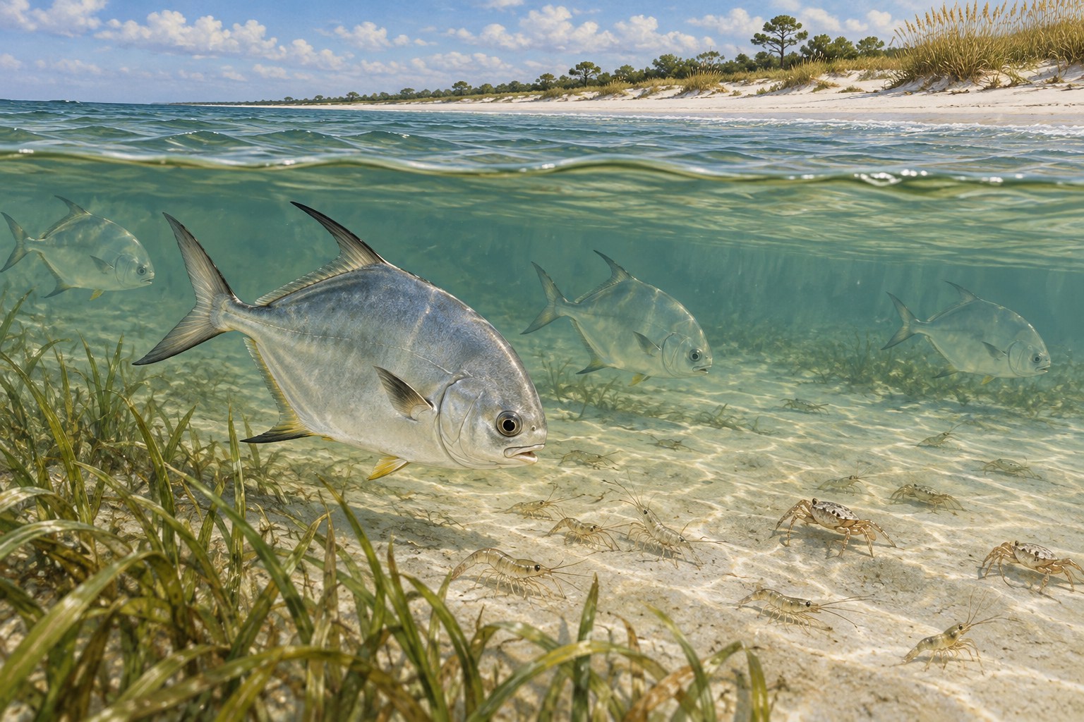
Spotted seatrout use mixed grass and sand in St. Joseph Bay. A view of such habitat from WindMark does not establish that every patch is reachable or that every adjacent platform allows fishing. Confirm the approved location first, then match the rig to its depth.
Where a clean permitted lane exists, a light jig or suspended shrimp can pass above submerged plants. Shorten float depth when the bait returns carrying grass. Trout can be harmed by rough handling and excessive pressure. Use a smooth drag, wet hands and brief identification before a careful release or lawful retention decision.
Carry a shoreline kit that stays portable
A medium spinning rod, a few small hooks, spare leader and light sinkers handle many basic shore presentations. Add a compact soft plastic and a float if permitted water calls for them. Avoid bringing a large range of tackle that will sit loose on a busy crossing.
Include pliers, a ruler, drinking water and a bag with a closing top for used line. Keep bait away from food and towels. A tackle tray that shuts fully prevents hooks from escaping during a walk along the paved beach trail. Use rod holders only for attended equipment and retrieve all baits before taking a walk away from the setup.
| Shore clue | Starting option | Adjustment |
|---|---|---|
| Clean sand | Trimmed shrimp bait | Use only enough weight to hold |
| Open edge near plants | Compact soft plastic | Keep the retrieve above vegetation |
| Occupied beach | Habitat walk | Return for a quieter legal session |
Adjust the length of the session before complicating it
Warm summer mornings can make a shorter outing more comfortable. Afternoon storms can interrupt a shore plan quickly, so a nearby vehicle and an uncomplicated return are useful advantages. Cooler months may bring lower water temperatures and less active shallow feeding after fronts.
Check current water-quality and red-tide notices before the visit. A dated alert is a reason to look for the latest condition, not proof that a beach remains affected forever. Wind direction and visible water movement should guide casting distance. Tide predictions help plan expected level, but they do not forecast a guaranteed bite at one particular hour.
Make the fishing space smaller than the public beach
WindMark draws walkers, cyclists and swimmers as well as anglers. The paved BeachWalk route provides a way to enjoy the shoreline without carrying fishing line across it. Reel in when another beach user approaches the water through your casting lane.
Keep pets, hooks and bait containers separated. Do not feed birds to entertain children beside tackle. Respect dune boundaries and any turtle-nesting markers. A fishing position should be easy to pack down and move. If the sand becomes too crowded, the walking trail and shoreline view remain worthwhile alternatives to forcing a cast into occupied water.
Measure success by what you learned about the shore
For an initial visit, choose one access and two small presentations at most. Compare a shrimp bottom rig with a light moving offering only if the water and rules suit both. Note the access condition, weed cover and where the bait stayed usable.
Check license and harvest requirements before keeping a catch. Photograph uncertain identification briefly without laying a live fish on hot sand. End by checking the crossing and tackle position for discarded line. Your next WindMark session will be easier to plan when it rests on actual shoreline observations instead of an assumption that every bay-facing beach fishes alike.
Common questions
Is every WindMark facility open to day visitors?
No. Public beach accesses are separate from private residential facilities and community amenities.
Where is the south public access?
Gulf County lists it at 365 Flat Water Street West. Verify the current crossing and signs when you arrive.
Is the water always calm?
No. Wind over the open bay reach can create rough conditions even when the coast looks sheltered.
What if the beach is too crowded for a cast?
Put the tackle away and enjoy the shore or public walking route. Fishing line should never share occupied swimming space.
Prepare for your visit
Check local tides and weather. Read more about whiting, permit, spotted seatrout. Check current FWC saltwater fishing rules.