
PANHANDLE
Dr. Julian G. Bruce St. George Island State Park
fishing guide
St. George Island State Park protects Gulf beach and bay-side marsh on one barrier island. Its official page showed a storm closure during review, with a separate campground renovation closure.
Explore the guide ↓Read current notices before trusting an older trip report
Dr. Julian G. Bruce St. George Island State Park occupies the island's eastern end. The entrance is at 1900 East Gulf Beach Drive. It is a separate managed area from the island's central public beach and the private community farther west.
The official page reviewed on October 11, 2026 showed an October 10 storm closure covering the park and overnight accommodations. It also listed a July 13 campground renovation closure. Confirm current reopening and campground status at 850-927-2111. Older descriptions of an open campground or normal day-use hours do not prove that either closure has ended.
Pick one coastline for the fishing session
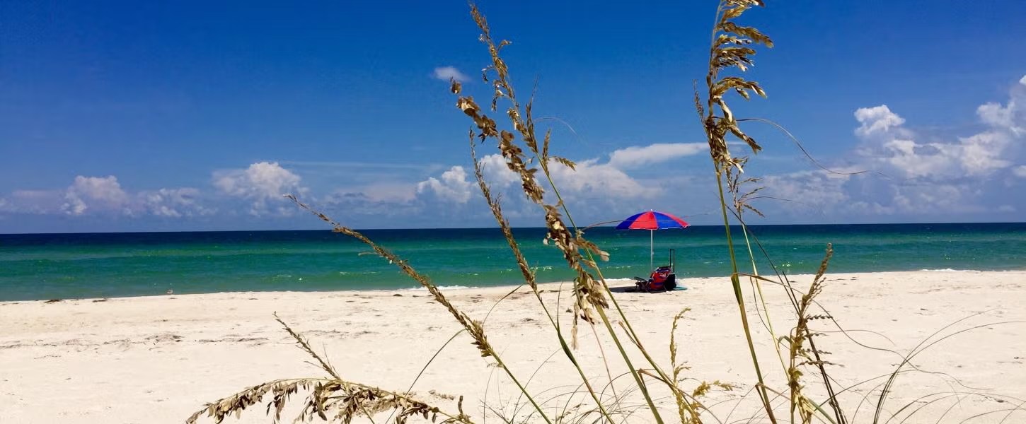
The Gulf shore has sandy beach and moving surf. The bay side supports marsh and shallow feeding habitat. Those contrasts make the park interesting, but they also mean access, tackle and weather decisions differ. Choose the side that suits your experience once its approved area is open.
Ask staff which beach crossings, bay routes and launches are currently usable. Do not assume a nature trail ends at a place suitable for casting. Keep swim zones separate from fishing. The distant East End is a special trip with a long approach and strong current, not a routine extension of the nearest day-use picnic stop.
Begin with a small bait in the first useful trough
Watch where breakers repeat along the Gulf beach. A calmer strip between the outer white water and the shore may provide a sand-bottom feeding lane. Whiting can take small shrimp pieces there, often without a long cast or a heavy sinker.
Try the nearest controllable distance, then compare another lane if bites remain absent. Keep the bait sized to the hook. Strong sideways drift indicates that the presentation or the conditions need changing. Avoid walking into deeper water to gain reach. The shoreline itself can change after storms, so yesterday's sandbar position is a poor guide to today's safe footing.
Match traveling fish with small coastal prey
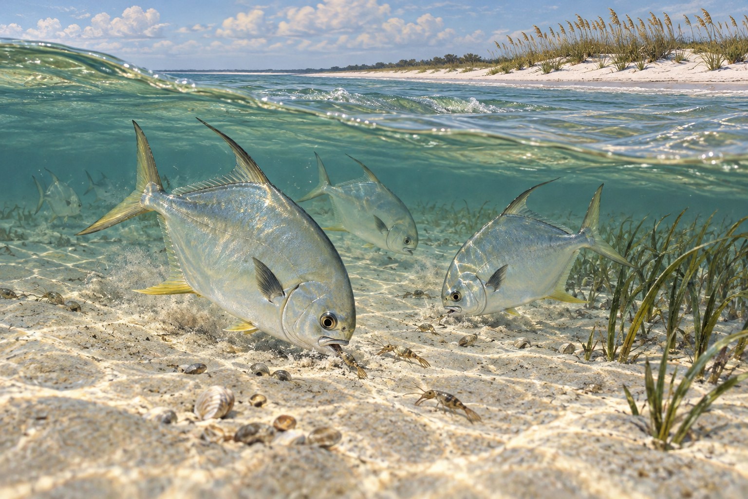
Pompano may move through Gulf sand habitat when water and seasonal food conditions suit them. Legally obtained sand fleas, shrimp and small crustacean-style offerings can be useful options. Keep them compact so a fish can take the hook with the food.
Spring and fall often attract anglers looking for these runs, but weather can alter timing. Learn to identify the fish rather than relying on a yellowish fin or silver body alone. Check current size and bag rules before retention. If weed covers the rig on every retrieve, seek a clean legal sand lane instead of assuming the bait brand is the problem.
Let bay habitat guide a quieter presentation
Redfish use shallow edge routes to find shrimp, crabs and small fish. Spotted seatrout can hunt above mixed grass and sand. These fish need useful food routes, not merely a distant shoreline that looks wild. Observe bait movement and water clarity from an approved position.
For trout, a suspended shrimp can pass above cover. For redfish along cleaner bottom, a slowly worked soft plastic can stay in the feeding lane. Use the lightest weight that still gives control. When the hook drags through grass, change depth or route. Do not tear vegetation to retrieve a lure or use a propeller to force access across a shallow flat.
Keep the park kit easy to carry and supervise
A medium spinning rod with a small lure box handles much ordinary inshore work. For surf bottom rigs, use an outfit rated for the sinker you choose. Carry spare leader, small hooks and a few weights rather than a large assortment that complicates the walk.
Add pliers, a measuring tool and a bag that contains discarded line. Keep bait cool and food separate from tackle. Each rod in a holder still needs attention. Reeling in before a walk or picnic avoids leaving a baited hook active while children, birds or other beach visitors use the surrounding space.
| Open habitat | Likely starting target | Method |
|---|---|---|
| Gulf sand trough | Whiting | Small shrimp bottom rig |
| Clean seasonal surf lane | Possible pompano | Compact crustacean bait |
| Approved bay grass edge | Spotted seatrout | Shrimp suspended above plants |
Assess a bay launch before planning distance
The park lists boating and paddling opportunities, but their availability must be checked after closures. Boat suitability depends on launch conditions and water depth. Prepare away from the ramp and keep the channel open for others entering or leaving.
A kayak route should have a known landing, a modest turnaround and a life jacket worn throughout. Wind can make the return across open bay water much harder than departure. Carry communication and share the route ashore. Stay out of closed habitat and avoid treating a shallow marsh creek as a shortcut when its depth or permitted use is uncertain.
Use the forecast to choose a short useful window
In warmer months, an early outing can avoid the worst heat and leave more time to return before afternoon storms. Cold fronts can push fish toward more stable depth and reduce activity in exposed shallows. Slow a presentation before trying to cover much more water.
Compare expected tide level with actual movement on the chosen shore. Wind can affect both water height and local drift, and a station prediction cannot describe every marsh corner. Stop before surf or lightning makes the return unsafe. The value of a park with several habitats is the ability to choose a safe open plan, not an obligation to fish through worsening conditions.
Protect nesting ground while learning the water
The park's beach and dunes support turtles and shorebirds. Keep outside marked nesting areas and use designated crossings. A little-used stretch of sand can be valuable habitat even when no animal is visible at the moment.
Release fish carefully with wet hands and minimal air time. Pick up line before leaving any beach or launch. On the first visit after reopening, work one area slowly and note what was actually open. That habit helps keep future advice accurate and avoids confusing a productive past trip with access that may have changed through weather or construction.
Common questions
Can I assume the park campground is open?
No. The official page showed a separate campground renovation closure as well as a storm closure during review. Check both statuses.
How does the central island beach differ from the park?
The state park has its own entrance, fees, operating status and protected-area rules. Central public beach access is separate.
Which bait is useful for a first Gulf-side session?
A small shrimp piece in a clean reachable trough is a straightforward way to test sandy surf water.
Is the East End a quick walk from any picnic stop?
No. Its approach is long and its pass water has strong current. It needs a separate access and return plan.
Prepare for your visit
Check local tides and weather. Read more about florida pompano, whiting, permit. Check current FWC saltwater fishing rules.