
FLORIDA KEYS & EVERGLADES
Lower Florida Keys
fishing guide
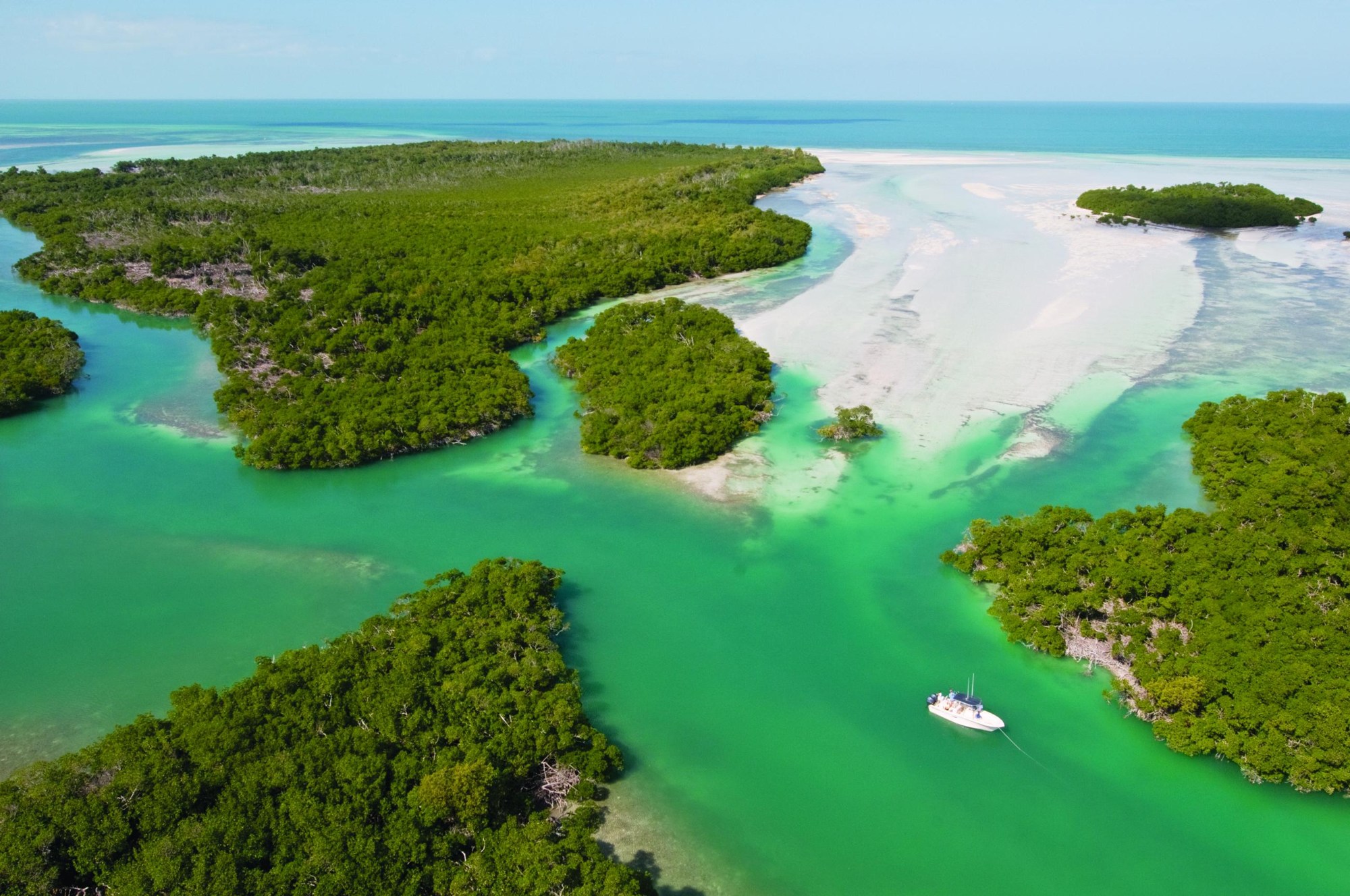
The Lower Florida Keys offer flats, mangrove islands, channels and offshore water within a short-looking map distance. Choose a specific fishing style and a lawful entry point. Marine boundaries, actual depth and wind determine which parts of that map you can safely use.
Explore the guide ↓Choose a fishing style before choosing an island
The Lower Keys extend through a chain of islands and shallow marine habitat toward Key West. A visitor can target flats fish, ordinary inshore species or deeper-water fish, but those are different outings. Select the style that fits your experience, boat and weather.
Do not treat a regional guide as a promise of public shoreline access on every key. Many seawalls, docks and canal ramps are private. Verified public launches and explicitly permitted shores are the practical starting points.
Monroe County lists public ramp locations including State Road 4A on Little Torch Key and Blimp Road on Cudjoe Key. Check the current conditions and parking rules for the selected facility. A listed ramp is not proof of unrestricted casting from its dock.
Read small changes across a broad flat
Sand openings, grass edges and slightly deeper lanes can shape where small prey gathers. Fish do not occupy every acre evenly. Use polarized glasses and patient observation to notice movement before creating noise with the boat or repeated casts.
A shallow flat is not necessarily safe to walk across. Coral, soft bottom, channels and protected habitat can limit travel. Use a suitable route that avoids trampling or grounding, and do not rely on apparent color as an exact depth gauge.
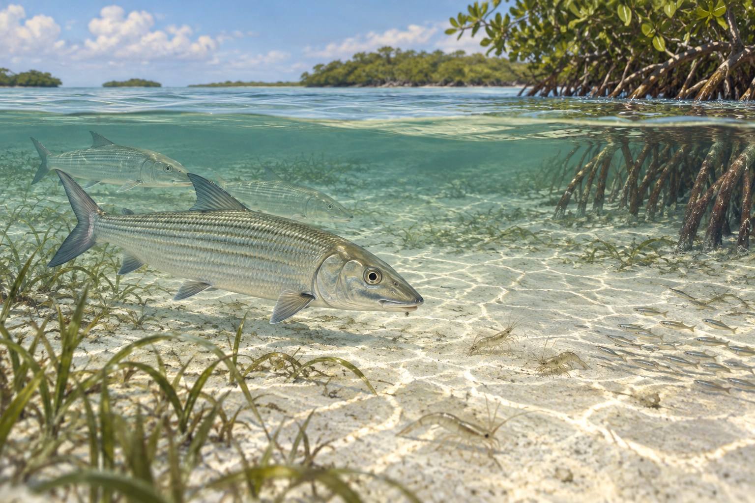
Bonefish and permit are rewarding specialized targets. Their reputation should not turn a first visit into a rushed chase. Practice accurate casts and learn to identify feeding behavior while accepting that many fish will pass without a good opportunity.
Match the offering to the fish you see
A small shrimp imitation can suit a bonefish feeding on bottom prey. A crab-shaped offering may be useful for an identified permit. Put either offering ahead of the route rather than landing it directly on top of the fish.
Allow time for the fish to approach, then use a small movement if needed. A frantic retrieve can remove the bait from the feeding path. A clean, well-timed presentation is more valuable than repeatedly changing lure color.
Use enough tackle to bring a hooked fish in promptly. Thin leaders may improve a delicate presentation, but they are not an excuse for excessive fight times. Keep released flats fish supported and avoid laying them in dry sand for photographs.
Test recoverable mangrove margins
Mangrove roots provide shelter for small fish and other prey. Snapper and mobile predators may feed near the open edge. Choose water where fishing is allowed and stay clear of marked wildlife closures.
A small natural bait drifted just outside roots can test for snapper. A lightly weighted paddle-tail can search a longer bank. Cast into a gap that permits recovery, not into the densest branches merely because they look attractive.
Use abrasion-resistant leader where structure makes it necessary. Inspect it after a fish brushes cover. Replace a roughened section before another cast instead of waiting for a preventable breakoff.
Fish moving water without occupying a boat route
Channels can carry prey between sheltered areas and open water. A clean margin may be useful for jacks, snapper or other fish. The main navigation lane belongs to moving vessels, so keep the boat and line outside it.
Observe the direction and speed before selecting weight. Enough lead to control a bait in gentle flow may be inadequate in a narrow fast cut. More weight cannot make a dangerous position or crowded fairway suitable for fishing.
Larger tarpon and toothy predators need target-specific equipment and handling. Do not intentionally hook them on tackle selected for small snapper. Establish the release method and safe space aboard before pursuing larger fish.
Build separate kits for separate outings
An ordinary inshore spinning kit can remain compact: a shrimp rig, several small jigs, spare leaders and hook-removal tools. A flats kit prioritizes casting accuracy and quiet presentation. An offshore kit requires stronger equipment and a boat suited to the route.
Carry water, sun coverage, navigation backups, life jackets and a communication plan. Include tools that make a fast release possible. Keep tackle stored so it cannot snag passengers or block access to safety equipment.
Use the table to make a sensible first choice. It does not combine every fishing style into one rod or guarantee fish in a particular island channel.
| Fishing style | Starting presentation | First planning priority |
|---|---|---|
| Flats sight fishing | Shrimp or crab imitation | Accurate casting and identified fish |
| Mangrove snapper | Small natural bait | Recoverable legal cover |
| Channel search | Compact jig or spoon | Traffic and current control |
| Offshore outing | Target-specific stronger equipment | Suitable boat, weather and zone map |
Learn the current marine boundaries
Florida Keys National Marine Sanctuary has protected zones with different fishing and vessel rules. Some areas prohibit fishing altogether. Review the current map before choosing a reef, flat or anchorage, and understand the boundary rather than relying on another boat's position.
Refuge waters also have wildlife-management restrictions in some places. A mangrove island may be closed to entry or require quiet vessel operation. Fishing permission in nearby water does not grant permission to land on the island.
Rules and zone maps can change. Use current official information for the day's route, along with Florida and applicable federal harvest rules. Familiarity with a previous trip is useful, but it is not a substitute for checking an updated boundary.
Build a return margin into the weather plan
The Lower Keys have broad shallow expanses and exposed passages as well as sheltered water. A safe route must account for all of them. Check marine wind, thunderstorms and the direction of the roughest return leg.
Cold fronts can push water off flats and make a formerly usable crossing too shallow. Summer storms can grow while a boat is far from a ramp. Set a conservative turn-back time based on weather and actual water depth.
For kayaks, distance that looks short on a map can become a long upwind return. Select a nearby route with known legal landing options. Wear a life jacket throughout the outing rather than storing it under tackle.
Protect the reason fish use the region
Seagrass, coral and mangrove roots support the prey and cover that make this fishing region valuable. Avoid propeller scars, broken branches and unnecessary bottom contact. Back out when depth is unsuitable instead of powering forward across a bank.
Keep fish handling brief, with wet hands and proper support. Release unfamiliar species while you confirm identification rather than guessing a legal limit. Do not feed fish or wildlife from vessels where sanctuary rules prohibit it.
Take all fishing line and bait packaging back to the launch. Inspect the boat for loose scraps before driving away. A small amount of deliberate care keeps both the fishing habitat and public access safer.
Common questions
Which Lower Keys fishing style is easiest to plan first?
Choose one suited to your access and experience, such as ordinary inshore snapper fishing from an authorized boat route.
Are all flats open for wading?
No. Verify permission, habitat protection and bottom safety before entering shallow water.
Do sanctuary zones have the same rules everywhere?
No. Consult the current map and the rule for the exact zone on your route.
Why check both wind and tide?
Wind can alter shallow-water depth and make the return difficult even when a tide prediction looks favorable.
Prepare for your visit
Check local tides and weather. Read more about permit, bonefish, tarpon. Check current FWC saltwater fishing rules.