
FLORIDA KEYS & EVERGLADES
Little Torch Key
fishing guide
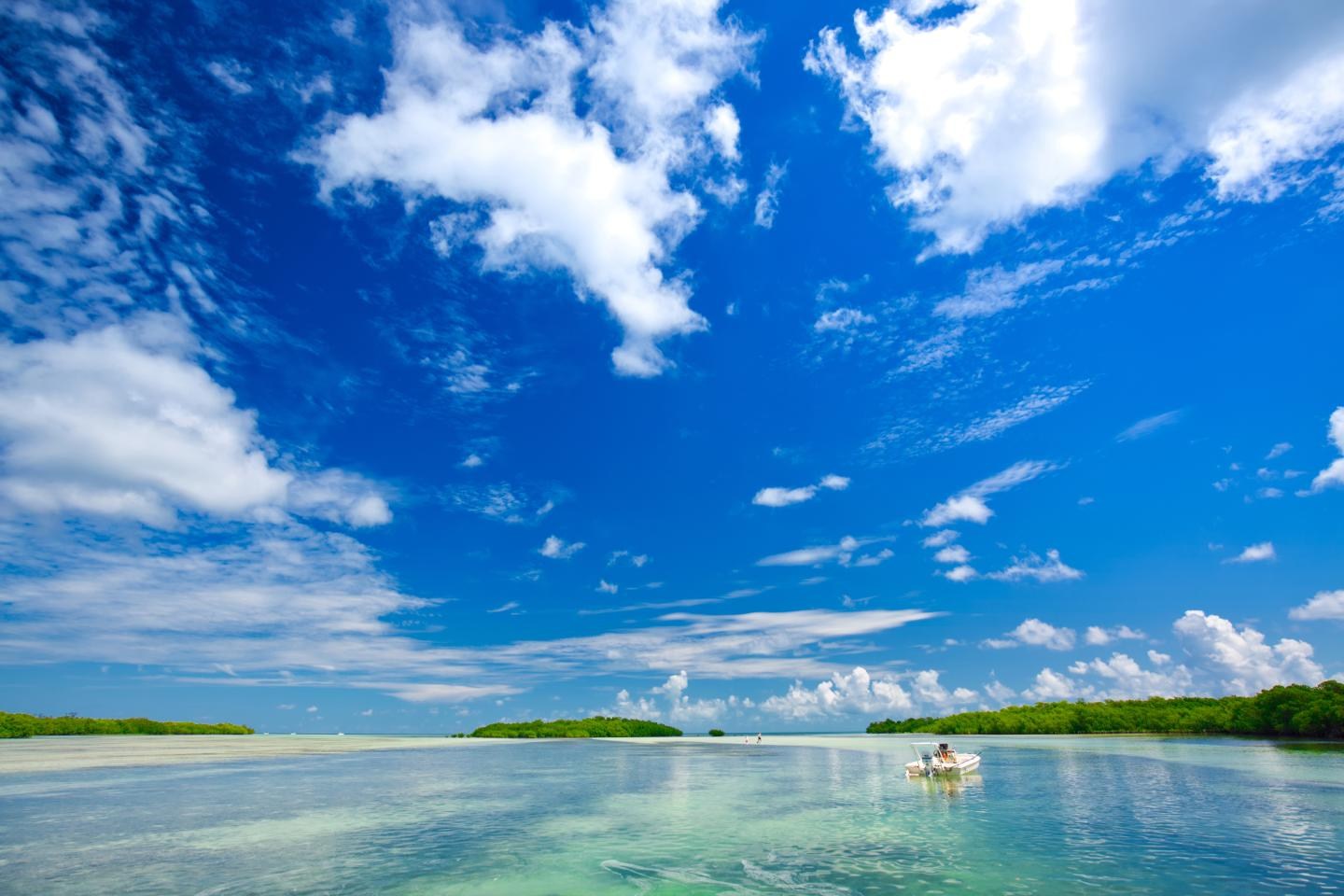
Little Torch Key offers a Lower Keys starting point near Newfound Harbor and mangrove-lined shallows. The county lists a public ramp on State Road 4A. Keep the trip focused on legal water, careful navigation and the habitat you can safely reach.
Explore the guide ↓Use the listed State Road 4A ramp
Monroe County identifies State Road 4A as a public boat-ramp location on Little Torch Key. Check the current ramp condition, fees and parking arrangement before towing a boat there. The county says its listed ramps are free for residents, which should not be read as a blanket free-use promise for everyone.
A ramp is a place to launch, not automatically a place to stand and cast. Keep its approach, dock and turning area available for vessels. If you want to fish from land, verify a separate allowed shore position rather than spreading lines through the ramp lane.
Little Torch Key has private waterfront property as well as public access. A rental listing or water-facing road does not grant dock permission. Confirm the exact point where your fishing outing begins and where you can safely finish it.
Understand Newfound Harbor as a water system
The surrounding water includes protected shallows, mangrove margins and deeper routes between islands. Pick a short known route for a first visit. A large chart area can make nearby water look simpler than it is at boat level.
Look for sand beside vegetation and a drop beside a channel. These changes can give baitfish, shrimp and feeding predators an edge to follow. Do not turn every dark patch into a target before deciding whether it is depth, grass or a shadow.
Near Newfound Harbor, sanctuary protection boundaries matter. The protected Newfound Harbor Key area is not interchangeable with all the open surrounding water. Use the current marine-zone map before deciding where to fish or anchor.
Present bait beside mangrove cover
Mangrove snapper are a practical inshore target where accessible cover and lawful fishing water overlap. Try a small shrimp or thin fresh bait strip with the hook point showing. Keep the offering just outside the roots so it can be retrieved cleanly.
Start with enough leader strength to handle abrasion, then adjust if clear water makes fish cautious. Reducing visibility should not leave you unable to bring a hooked fish away from structure. The goal is a balanced rig that suits the cover.
If a bait returns stripped without a solid bite, use a smaller piece and inspect the hook. Do not immediately add another hook or more weight. A simple change is easier to understand and easier to manage around a small boat.
Let sight fishing develop slowly
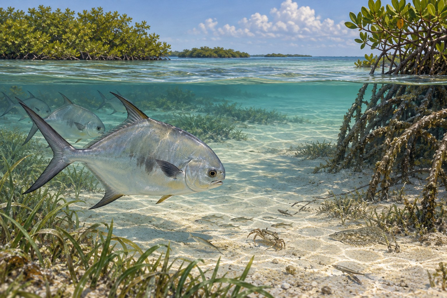
Bonefish and permit are possible in the broader Lower Keys flats environment, but they are not guaranteed at every shoreline. Look for feeding behavior and identify the fish before casting. A cruising shape may be another species or simply traveling through.
A shrimp imitation is a useful flats offering for suitable small-prey targets. A crab imitation can make sense for an identified permit. Put the lure ahead of the route and give the fish time to find it without repeated noisy casts.
Keep the hull and motor away from sensitive shallow bottom. If you cannot approach without grounding or damaging vegetation, leave that area. Successful flats fishing depends on preserving the habitat and remaining quiet enough to see what happens.
Use lures where prey gathers
Small jacks and other mobile fish may follow bait around open channel edges. A compact paddle-tail can search that water without an elaborate bait setup. Choose a jig weight that stays controlled but does not repeatedly snag the bottom.
Try a few casts at different angles to the moving water. A lure traveling naturally with the flow may behave differently from one pulled directly against it. Pay attention to where follows or bites occur instead of only counting casts.
Barracuda need careful leader choice and hook removal. Inspect a damaged leader after every toothy encounter. Keep loose treble hooks clear of the landing net, your hands and the boat's occupants.
Pack for a small-boat inshore day
A medium spinning rod with a modest jig selection covers ordinary snapper and lure fishing. Carry a second leader option for rougher cover rather than rebuilding an entire outfit after the first snag. Choose heavier tackle before intentionally targeting larger fish.
Water, sun coverage, a life jacket and communication equipment belong in the kit with tackle. Keep essentials protected from splashes. A shallow-water trip can still leave you far from an easy landing when wind rises.
Use the comparisons below to select a first approach. Each assumes current permission and sufficient water for safe operation.
| Permitted water | First approach | Adjustment |
|---|---|---|
| Mangrove fringe | Compact shrimp bait | Stay outside recoverable roots |
| Grass and sand border | Shrimp imitation | Reduce weight if it catches grass |
| Open baitfish edge | Small paddle-tail | Compare drift angles |
| Narrow shallow crossing | Navigation check | Return before losing water |
Track both fishing flow and the ramp return
Rising water can let fish feed across a broader shallow margin. Falling water may gather prey beside deeper routes. These patterns are useful only if the boat can enter and leave the area without grounding.
Mark the depth of shallow crossings during the outbound trip. Plan to be back through them before the falling water removes your margin. Wind can change the actual level beyond the tide prediction.
At the ramp, current and wind may affect loading differently from fishing in sheltered water. Leave enough daylight and crew energy for a careful return. Do not use the last possible tide minute as the entire retrieval plan.
Keep the route short when weather is uncertain
Lower Keys winters can be windy during passing fronts. A protected-looking harbor may offer calmer fishing than an exposed ocean route, but check the full journey. Conditions at the ramp alone do not show what lies around the next island.
Summer outings need an early thunderstorm and heat plan. Carry enough water for everyone, including a reserve for a delayed return. A mangrove bank provides shade but is not safe shelter from lightning.
Consider a shorter first session that teaches you the launch and water movement. Local knowledge gained without rushing is useful on later trips. Do not add distance merely because the fish have not appeared yet.
Distinguish open water from protected habitat
Confirm current sanctuary boundaries near your intended fishing area. A no-fishing zone can sit beside water where ordinary recreational angling is allowed. Buoys help with recognition, but they are not a substitute for knowing the mapped boundary.
Follow Florida license and harvest requirements together with any federal rules that apply offshore. Identify the catch before putting it in a cooler. Use lawful bait and do not remove creatures or plants from protected bottom.
Keep released fish wet and handle them promptly with suitable tools. Collect all line scraps aboard the boat before returning to the ramp. Leave the launch lane and parking space clear of hooks, spilled bait and loose packaging.
Common questions
Where is the listed public ramp on Little Torch Key?
Monroe County lists State Road 4A. Confirm current facility and parking details before launching.
Can I fish from the ramp while boats use it?
Do not block the launch or navigation space. Verify a separate authorized shore position.
Is every part of Newfound Harbor open to fishing?
No blanket permission applies. Check the current sanctuary map, including protected Newfound Harbor Key waters.
What should I watch on a falling tide?
The depth of your return crossings and the ability to retrieve the boat safely at the ramp.
Prepare for your visit
Check local tides and weather. Read more about mangrove snapper, permit, bonefish. Check current FWC saltwater fishing rules.