
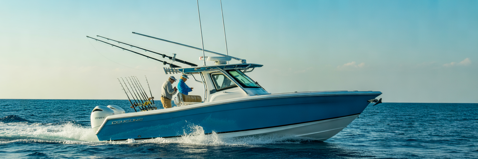
In 1835, Connecticut sea captain Leonard Destin settled on a narrow sand spit along the Florida Panhandle for one specific reason: the deep, nutrient-rich contours of the DeSoto Canyon pushed closer to this stretch of beach than anywhere else on the Gulf Coast. Today, that same bathymetric quirk lets private boat crews clear the jetties and reach the 100-fathom curve in under forty nautical miles, provided you respect the pass and plan your fuel burn.
Using a Destin Offshore Spot Guide for Range and Fuel
Every successful run into the northern Gulf starts at the fuel dock, long before you ice down the fish box or rig a single ballyhoo. Using a Destin offshore spot guide means matching the unique海底 topography of the Panhandle against the hard mathematical limits of your boat’s tank and your crew’s physical stamina.
The East Pass Geographical Advantage
Running out of East Pass gives private boaters a massive tactical edge in Florida Gulf offshore fishing. If you launch out of Tampa Bay, Cedar Key, or Fort Myers, reaching 600 feet of water requires a grueling 80 to 100 mile haul across a gradual continental shelf. Out of Destin Harbor, the ancient limestone dropoffs of the DeSoto Canyon bend straight toward the beach. You can clear the sea buoy and hit the 100-fathom curve within 35 to 40 nautical miles, putting bluewater pelagics and deep-water reef fish well inside the striking radius of a twin-engine center console.
Applying the One-Third Fuel Rule Under Heavy Loads
Short mileage numbers can trick captains into pushing their fuel envelopes too far. Smart offshore crews live by the strict one-third fuel rule: burn one-third of your usable tank reaching your furthest waypoint, budget one-third for high-drag trolling and hopping between ledges, and hold the final one-third in an untouchable reserve. Never trust factory fuel burn charts when planning a canyon run. A boat that gets 1.8 miles per gallon on a calm bay trial will easily drop to 1.2 miles per gallon when loaded down with 400 pounds of ice, two full livewells, four grown anglers, and heavy tackle while plowing into a steep two-foot Gulf head sea.
Destin Mileage Tiers and Honest Crew Assessments
To keep your fuel burn honest, break the grounds south of East Pass into three distinct distance tiers: nearshore reefs from 3 to 12 miles, mid-range hard bottom from 15 to 30 miles, and deep dropoffs like the 100-fathom curve, the Edge, the Spur, and the Squiggles from 35 to over 60 miles. Understanding how these three zones fit into the wider regional fishery is the foundation of our complete destin fishing resource for visiting and local captains.
| Offshore Zone | Distance from East Pass | Typical Depth Range | Minimum Recommended Fuel Capacity Margin | Primary Target Structure |
|---|---|---|---|---|
| Nearshore Tier | 3 to 12 Nautical Miles | 60 to 110 Feet | 40 Miles Total Usable Range | Public artificial reefs, steel bridges, concrete rubble, coastal wrecks |
| Mid-Range Tier | 15 to 30 Nautical Miles | 110 to 240 Feet | 100 Miles Total Usable Range | Natural limestone ledges, Swiss-cheese hard bottom, low-relief gravel |
| Deep Canyon Tier | 35 to 65+ Nautical Miles | 300 to 1,200+ Feet | 200+ Miles Total Usable Range | 100-fathom curve, the Edge, the Spur, the Squiggles, floating fads |
Distances reflect direct nautical mileage from the East Pass sea buoy toward the northern rim of the DeSoto Canyon, with fuel margins calculated using the one-third reserve standard under loaded offshore hull conditions.
Fuel capacity means nothing if your crew falls apart before the lines go in. Look at your anglers honestly before untying from the dock. If a crew member is green or prone to motion sickness, committing to a 55-mile run to the Spur is a major mistake. Scale your plan back to the 18-mile hard bottom so you can drop baits quickly and avoid aborting a costly trip two hours after sunrise.
Recap Key Takeaways: Always calculate your offshore radius using loaded-hull fuel burn numbers and the strict one-third reserve rule. Match your target tier, whether 10-mile public structure, 25-mile natural ledges, or 50-mile canyon walls, to both your usable fuel margin and the weakest stomach on the deck.
Reading East Pass Conditions and Marine Forecast Windows
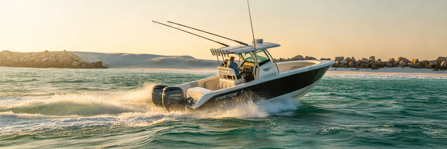
Even with a topped-off tank and a seasoned crew, your offshore game plan is only as good as your exit strategy through the jetties. Safe East Pass Destin boating requires respecting one of the most dynamic, shifting inlets on the Gulf Coast while reading offshore buoy data with a critical eye.
Clearing the Shoals and Standing Waves at East Pass
Running East Pass in the pitch dark before dawn demands total focus on your chartplotter and radar. Constant sand shoaling along both the eastern Santa Rosa Island side and the western Norriego Point side narrows the deep-water channel considerably. The real danger triggers when a heavy outgoing tide drains Choctawhatchee Bay straight into a steady south or southwest wind. That collision stacks up steep, square standing waves right between the rock jetties and over the outer bar, easily stuffing the bow of a 25-foot boat if you throttle down at the wrong moment. Reviewing our breakdown on reading Florida fishing tide charts before you launch will tell you instantly if you are walking into a calm slack-tide pass or a violent outgoing rip.
Wave Period Versus Wave Height on Offshore Buoys
Once you clear the sea buoy, the five-day marine wind forecast takes a back seat to real-time National Data Buoy Center telemetry from the Pensacola and Panama City offshore stations. Amateur captains only look at wave height in feet, while veteran Panhandle captains obsess over dominant wave period in seconds. The ironclad rule on the Gulf is simple: when the wave period in seconds is at least double the significant wave height in feet, you have a fishable ocean. A 2 to 3 foot sea spaced out at a 9-second period produces a gentle, rolling swell that lets you cruise at 30 knots. Take that exact same 2 to 3 foot wave height and compress it down to a 4-second period, and you are staring at a steep, hull-pounding washing machine that will loosen every screw on your console.
Offline Chart Redundancy and Return Window Realities
Weather conditions past the 20-mile line change faster than any coastal forecast updates. During the summer, towering afternoon thunderstorm squalls build over the warm shelf waters and can cut off your straight-line return angle to Destin Harbor. In the late autumn and winter, early cold fronts clock the wind hard out of the north, turning a flat morning ride out into a soaking head-sea battle all the way back to the beach. Because cellular service dies completely about five miles south of the pass, relying on live phone apps for navigation is reckless. Always download offline high-resolution bathymetry maps and satellite weather overlays directly to your multifunction display or tablet before leaving the dock.
- Verify the East Pass Tide Phase: Cross-check the outgoing tide peak against any southern wind component to anticipate standing waves at the jetties.
- Check the Two-to-One Buoy Ratio: Confirm on live offshore buoys that the wave period in seconds is at least double the wave height in feet before committing to a long run.
- Monitor Barometric Pressure Trends: Watch for sudden pressure drops that signal developing summer squall lines or early winter frontal boundaries.
- Download Offline Chart Layers: Save all bathymetric contours, waypoint lists, and SST satellite tiles locally to your devices before cell reception drops off.
- Set a Hard Turnaround Time: Establish a mandatory throttle-up time to clear the pass before afternoon thermal winds or opposing inlet tides peak.
Targeting Bottom Structure from Public Numbers to Natural Ledges
With a clean forecast window and the pass safely in your wake, the focus shifts straight to your multifunction display screen. Turning raw mileage into full fish boxes requires separating heavily hammered public waypoints from the quiet, natural geology where trophy reef fish actually live.
Leaving Pressured Public Wrecks for Natural Limestone
Okaloosa County maintains one of the most aggressive artificial reef programs in the country, sinking everything from steel bridge spans and concrete rubble to ships and deployment modules within 15 miles of the beach. While these public Destin offshore fishing spots hold plenty of bait and triggerfish, they also attract a fleet of twenty boats every calm Saturday morning. Big red snapper, gag grouper, and scamp get educated fast when dozens of sinkers rain down on their heads all weekend. To put double-digit reef fish on the deck consistently, treat public numbers as bait stops and push further out to unpressured natural bottom between 110 and 240 feet.
Reading Your Bottom Machine for Relief and Bait
Finding productive Destin bottom fishing ledges comes down to trusting your sonar unit at scouting speed rather than waiting to see a giant wreck spike on the screen. Dial your transducer to 50 kHz for deep water or 200 kHz for sharper bottom detail in mid-range depths, and watch the thickness and color of the bottom tail. Flat, featureless sand shows up as a thin, pale line. When your boat passes over natural limestone or Swiss-cheese hard bottom, the return thickens into a bright, deep-red band accompanied by a secondary echo underneath. Pay close attention to subtle two-foot gravel breaks and pockmarked limestone pockets that show tight vertical fuzz rising five to ten feet off the seafloor. That fuzz is a mix of soft corals, sea fans, and tightly packed vermilion snapper or cigar minnows, and it holds far more untouched grouper than a picked-over sixty-foot steel wreck.
Zig-Zag Scouting and Holding Position in Deep Current
As you push past the 30-mile mark toward major bathymetric landmarks like the 100-fathom curve, the Spur, and the Squiggles, the seafloor drops away rapidly. These steep contour lines compress deep ocean currents and force nutrient-rich water and baitfish upward into the water column. When you mark a promising ledge or deep break, never pull straight up to the waypoint and dump the anchor. Run a slow zig-zag pattern across the contour lines at seven knots to see which side of the dropoff is holding suspended bait balls and active predator arcs.
Once you pinpoint the life, choose your boat-holding tactic based on depth and wind. Up to 160 feet in moderate seas, a high-thrust 36-volt GPS spot-lock trolling motor is unbeatable for hopping across small limestone outcrops without dragging anchor iron through the rocks. When the depth exceeds 180 feet or the wind and current rip past two knots, either set a manual grapple anchor uptide with plenty of heavy chain scope or execute controlled engines-in-gear drifts, bumping the throttles into reverse to keep your anglers’ lines completely vertical over the strike zone.
Recap Key Takeaways: Leave the crowded nearshore public reefs behind after catching live bait and use your sonar’s bottom-tail thickness to locate natural two-foot limestone breaks and Swiss-cheese hard bottom. Always zig-zag across deep contours like the Spur to locate the active bait side before locking down with a GPS trolling motor or executing a controlled engines-in-gear drift.
Tracking the Loop Current Upwellings and Floating Edges
While the limestone ledges anchor the bottom fishery, the surface water column above the shelf break is a constantly shifting highway. Mastering DeSoto Canyon fishing means taking your eyes off the seafloor and learning to track the massive oceanographic currents that push bluewater pelagics toward the Panhandle.
How the Loop Current Feeds the DeSoto Canyon
The engine behind Destin’s pelagic fishery is the Gulf Loop Current, a powerful ribbon of warm Caribbean water that surges north through the Yucatan Channel before bending east toward the Florida Straits. When a northern eddy breaks off this main flow and slams directly against the steep limestone walls of the DeSoto Canyon, it forces cold, nutrient-dense deep water toward the sunlit surface. This upwelling triggers an immediate phytoplankton bloom, pulling in massive schools of flying fish, squid, and juvenile baitfish, followed closely by blue marlin, yellowfin tuna, wahoo, and mahi mahi.
Layering SST, Chlorophyll, and Bathymetry Before Launch
Hunting pelagic fish across thousands of square miles of open water without satellite intelligence is a fast way to burn 150 gallons of fuel for nothing. The night before your trip, layer three specific data sets directly over your bathymetric chart inside HookCurrent: Sea Surface Temperature (SST) breaks, chlorophyll color boundaries, and sea surface height altimetry. Look for a sharp temperature change of even one or two degrees and a distinct transition from turbid green coastal water to clean, low-chlorophyll cobalt water. When that surface boundary intersects a major bottom contour like the 100-fathom curve or the Spur, you have a high-percentage starting waypoint. Keep a balanced perspective on satellite imagery, however. Heavy summer cloud cover can blind infrared SST sensors for days, and a brisk 15-knot overnight wind shift can blow a productive weed line five miles away from yesterday’s coordinates.
Working Both Sides of a Floating Weed Line
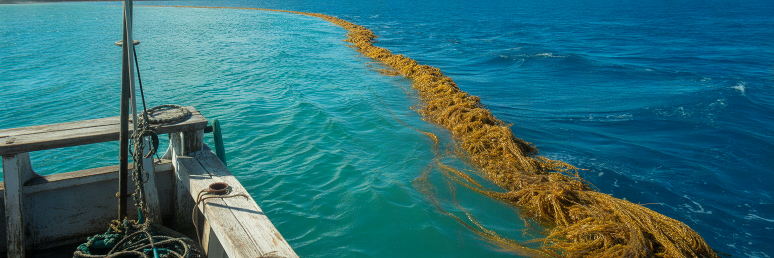
Once you reach your target area on plane, let your eyes confirm what the satellites promised. Scan the horizon for low-cruising frigatebirds, nervous showers of flying fish skipping across the swell, oily surface slicks that smell like cut watermelon, and thick, compacted mats of golden Sargassum weed. When you find a defined rip line where dirty green water collides with deep blue canyon water, do not just plow straight through the weeds.
Set up your trolling pass to work both sides of the boundary systematically. Run the clean, cobalt side of the edge pulling skirted ballyhoo and chuggers for mahi, marlin, and tuna, applying the spread geometry detailed in our guide to mastering trolling lures for mahi. On your return pass, slide over to the dirty water wedge and pull deep-diving plugs or heavy planer baits down in the clean water underneath the surface murk, right where big wahoo stage in the shade waiting to ambush stray bait.
- Overlay Altimetry and Bathymetry: Pinpoint where positive sea surface height eddies cross the 100-fathom curve or the Spur to find active upwellings.
- Mark the Chlorophyll Break: Identify the exact GPS line where high-chlorophyll emerald water transitions into clean, low-chlorophyll blue water.
- Account for Wind Drift: Adjust your morning run coordinates two to five miles downwind if a steady breeze blew across the weed line overnight.
- Scan for Bird and Bait Life: Never stop on a sterile weed line; keep cruising until you spot diving terns, wheeling frigatebirds, or flying fish flushing from the mats.
- Troll the Clean Edge First: Work the clear blue side of the rip with surface splashers and rigged ballyhoo to pick off aggressive mahi and billfish without fouling hooks in the grass.
- Probe Under the Dirty Wedge: Run inline planers or high-speed trolling leads along the turbid edge to reach wahoo and tuna holding 30 to 50 feet below the surface trash.
Dialing in Current Speed and Depth for Reef and Pelagic Beats
Finding the right structure or surface rip gets you in the game, but the speed and angle of the water moving beneath your hull dictate whether you actually hook up. Treating a two-knot current the same way you treat slack water will leave your baits spinning fifty feet out of the strike zone.
Why Water Movement Dictates the Reef Bite
Every veteran Gulf reef captain lives by one absolute rule: no current means no bite. When the water goes dead slack over a ledge in 150 feet, red snapper and gag grouper settle tightly onto the bottom with total lockjaw. You want a steady half-knot to one-knot flow pushing across the structure. That water movement stacks baitfish tightly against the uptide lip of the limestone break, forcing big predators to face into the flow and aggressively eat anything washing past their noses. Watch out for the northern Gulf’s notorious split-current condition, where a steady surface breeze pushes your hull west while a heavy subsurface current rips east at 120 feet. Always drop a bare test sinker on arrival and read the angle of your line entering the water before setting your drift or locking your trolling motor.
Reading Line Scope and Scaling Lead and Leader
When fishing between 150 and 300 feet of water, line drag is your biggest enemy. If your line scopes out at a 45-degree angle behind the boat, you are no longer fishing over the mark on your sonar screen. Scale your bank sinkers or egg leads immediately from 8 ounces up to 12 or 16 ounces so your bait hits the rock directly beneath the transducer cone. In deep, gin-clear loop current water, heavy terminal hardware spooks leader-shy scamp and mangrove snapper; drop your fluorocarbon leader from 80-pound test down to 50-pound or 60-pound and lengthen the leader to six feet so the bait flutters naturally in the current, a setup detailed in our complete Florida bottom fishing rigs guide. To cut water drag even further, spool your bottom reels with a thin, slick 50-pound or 65-pound eight-carrier weave rather than thick 80-pound cord, following the diameter specs in our angler’s guide on Florida saltwater braided fishing line.
Adjusting Trolling Spreads in Heavy Canyon Current
Water velocity affects pelagic trolling spreads just as drastically as bottom rigs. When you are pulling a six-rod spread across the edge of the DeSoto Canyon, your GPS speed over ground lies to you. Trolling at 7 knots on the GPS straight into a 2-knot opposing current means your lures are actually ripping through the water at 9 knots, causing rigged ballyhoo to spin, skip out of the swell, and wash out before a marlin can track them. Turn the boat around to run down-current at that same 7 knots on the GPS, and your lures slow down to a sluggish 5 knots with zero smoke trail. Ignore the GPS speedometer when working strong canyon eddies; watch the rhythm of your rod tips, listen to the engine RPMs, and look back at your flat lines to verify that your chuggers are breathing clean bubble trails every four seconds.
Recap Key Takeaways: Read subsurface current angles with a test drop before positioning the boat, and step up to 12 or 16 ounce sinkers paired with thin-diameter braid to keep bottom baits vertical in deep water. When trolling canyon edges, adjust your boat speed by watching lure action and engine RPMs rather than relying on GPS speed over ground.
Seasonal Game Plans for Pelagics and Reef Species
The northern Gulf of Mexico experiences dramatic water temperature swings compared to South Florida, shifting from 86-degree cobalt bathwater in July down to 62-degree emerald water in February. Aligning your offshore mileage and tackle with the calendar ensures you are hunting species that are actually present and legal to harvest.
Summer Canyon Runs for Tuna, Marlin, and Mahi
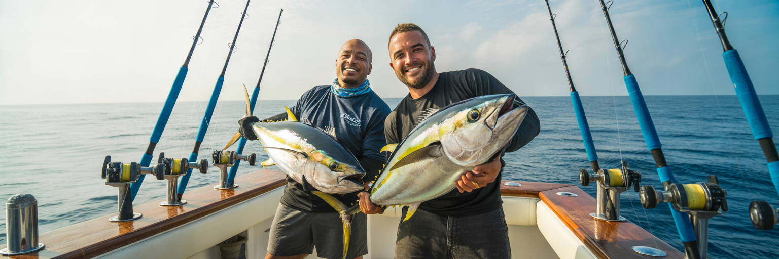
From June through August, light southerly winds and long daylight windows open up the entire DeSoto Canyon to private boat crews. Warm Loop Current water pushes right up against the 100-fathom curve, bringing yellowfin tuna, blue marlin, white marlin, and big gaff-sized mahi within a 40 to 60 mile run of East Pass. When you are not pulling trolling spreads along floating Sargassum lines, summer federal and state reef seasons typically offer prime windows to drop live cigar minnows or heavy jigs onto mid-range ledges in 120 to 200 feet for trophy red snapper.
Autumn Cooling Trends for Wahoo and Shallow Gags
September through November delivers some of the best low-crowd fishing of the year off Destin. As the first autumn cool fronts sweep off the Panhandle and drop nearshore water temperatures, baitfish schools flush off the beach toward the shelf edge. Aggressive packs of wahoo stack up along the mid-range ledges and the 100-fathom break, crushing high-speed trolling leads and deep planer baits. At the same time, cooling water triggers a massive inshore migration of heavy gag grouper and scamp, letting you target bruising bottom fish on rocky ledges in just 80 to 140 feet of water.
Winter and Spring Weather Windows plus FWC Compliance
Between December and May, frequent cold fronts shrink your available offshore days, demanding patience. When a high-pressure system settles directly over the Gulf and lays the wind flat for forty-eight hours, winter runs to deep offshore humps and steel wrecks in 200 to 400 feet produce non-stop action on football blackfin tuna, giant amberjack, and platter-sized vermilion snapper. By late March and April, warming spring currents push cobia, king mackerel, and early waves of mahi back inside the 25-mile line.
Before dropping a single bottom rig in any season, make sure your boat is 100 percent legal. Florida Gulf regulations require every angler aged 16 and older aboard a private vessel targeting reef species to hold a current State Reef Fish Angler designation, even if they are normally exempt from a standard saltwater license. Furthermore, federal and state rules mandate that every private boat fishing for reef fish have a descending device rigged and ready for immediate use on deck to safely return fish suffering from barotrauma. Double-check every permit and seasonal closure before leaving the dock using our Destin license checklist.
| Season | Primary Target Species | Prime Depth Range | Key Structure or Water Feature | Go-To Presentation |
|---|---|---|---|---|
| Summer (June to August) | Yellowfin Tuna, Blue Marlin, Mahi, Red Snapper | 120 to 1,000+ Feet | DeSoto Canyon rim, SST breaks, Sargassum lines, mid-range ledges | Rigged ballyhoo, chuggers, live cigar minnows on heavy knocker rigs |
| Autumn (September to November) | Wahoo, Gag Grouper, Scamp, Blackfin Tuna | 80 to 350 Feet | 100-fathom shelf break, the Spur, natural limestone drops | High-speed trolling leads, deep planer lures, live pinfish and bonito strips |
| Winter (December to February) | Blackfin Tuna, Vermilion Snapper, Amberjack | 150 to 400 Feet | Deep offshore humps, major steel wrecks, deep mud-line edges | Vertical jigs, heavy chicken rigs with squid, live hardtails on wrecks |
| Spring (March to May) | Cobia, King Mackerel, Early Mahi, Triggerfish | 40 to 250 Feet | Nearshore color changes, mid-range hard bottom, early weed lines | Bucktail jigs, live eels, flat-lined live baits, small multi-hook cut bait rigs |
Seasonal depth ranges and species movements correspond to northern Gulf of Mexico water temperature cycles and Loop Current proximity off the Florida Panhandle.
Recap Key Takeaways: Push out to the DeSoto Canyon rim in the summer for marlin, yellowfin, and mahi, then slide back onto the 80 to 200 foot limestone ledges in the autumn and winter for wahoo, gag grouper, and blackfin tuna. Always keep a descending device rigged on deck and verify that every crew member holds a valid State Reef Fish Angler designation.
Building a Repeatable Pre-Trip Offshore Checklist
The difference between captains who get weathered out at ten miles and captains who consistently fill the box comes down to cockpit discipline before the engines ever turn over. Building a repeatable pre-trip routine eliminates guesswork when the pass gets sporty or a primary waypoint goes dead.
Structuring Primary, Secondary, and Bailout Routes
Never leave Destin Harbor with only one destination punched into your chartplotter. Build a three-tiered route architecture the night before every launch. Your Primary Route is your ideal run, such as a 45-mile push to the Spur or the Squiggles when the buoys confirm a calm two-foot swell. Your Secondary Route is a mid-range line of natural limestone ledges in 130 to 180 feet of water, arranged so you can drift or bottom-bounce profitably if you clear the pass and realize the wind is blowing five knots harder than predicted. Your Bailout Route consists of three or four productive nearshore waypoints located up-sea of East Pass, allowing you to bend the rods in 80 feet of water while working your way back toward the jetties with a following sea.
Tackle Redundancy and Offshore Safety Gear
Forty miles off the beach is the wrong place to discover a corroded crimp or a dead battery. Rig your terminal redundancy the night before: pack a waterproof roll of pre-tied fluorocarbon wind-on leaders, spare three-way swivels, extra 16-ounce leads, and at least two backup spinning and conventional combos spooled with fresh braid so a blown reel drag never sidelines an angler during a frantic tuna bite. Pair that tackle prep with a ruthless safety inspection. Check the battery expiration date and hydrostatic release on your EPIRB, verify that your ditch bag holds handheld VHF radios and current flares, run a loud-and-clear radio check on VHF channel 16 at the dock, and leave a written float plan containing your three route tiers and expected return time with a trusted contact onshore.
Logging Trip Data to Sharpen Future Runs
Once the boat is washed down and the fish are vacuum-sealed, lock in the intelligence from your run while it is still fresh. Keep a dedicated captain’s log recording the exact water temperature, water clarity, tide phase at East Pass, subsurface current direction, and the specific depth contours that produced bites. Cross-referencing your personal logbook against real-time local fishing reports, environmental data, and charter captain insights on HookCurrent turns isolated lucky catches into a predictable, season-after-season offshore system.
- Program Three GPS Route Tiers: Load Primary canyon numbers, Secondary mid-range ledges, and Bailout nearshore spots into your plotter before untying.
- Stage Pre-Tied Terminal Backups: Stow coiled leader rolls, spare trolling lures, heavy sinkers, and a rigged descending device in an accessible cockpit locker.
- Inspect Life-Saving Electronics: Confirm EPIRB battery status, test bilge high-water alarms, and verify full VHF transmission power before clearing the harbor.
- File an Onshore Float Plan: Text your exact waypoint tiers, boat description, and hard return deadline to a reliable contact who knows when to alert the Coast Guard.
- Execute the Inlet and Sinker Checks: Read the standing waves at East Pass on departure and drop a test lead on your first stop to gauge true subsurface current.
- Log the Hard Environmental Numbers: Record bottom depth, SST readings, current vector, and productive bait presentations to refine your next Gulf weather window.