
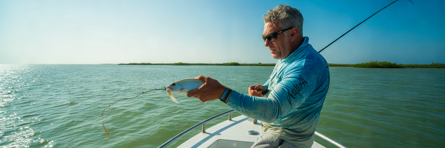
NOAA maintains hundreds of tidal reference stations along the 1,350 miles of Florida coastline, yet most anglers still show up at the ramp watching the clock instead of the current. Reading water movement accurately on fishing tide charts is the fastest way to turn dead boat rides into consistent hookups.
Reading Fishing Tide Charts for Highs, Lows, and Real-Time Flow
Decoding Chart Baselines and Tidal Coefficients
Before you back the trailer down, you have to know what the numbers on your screen actually mean on the water. Learning how to read tide charts starts with the zero line, known as Mean Lower Low Water (MLLW). That baseline is the average of the lowest low tides recorded at a specific station over a 19-year cycle. It is not the absolute bottom of the bay. When your graph shows a minus 0.5-foot low tide in January, the water will drop half a foot below the normal low mark. That is the exact scenario where your skiff hits an oyster bar you floated clean over yesterday.
Next to the vertical height numbers, you will see the high and low timestamps and a rolling sine wave. Stop fixating on the peak height and look at the slope of that line. A steep, vertical curve between low and high water indicates a high tidal coefficient, meaning a massive volume of water is being forced through the system in a tight window. A flat, lazy curve means minimal water exchange and a sluggish day on the flats.
Atlantic vs. Gulf vs. Keys: Three Different Tidal Personalities
You cannot read Florida tide charts for fishing the same way in Jacksonville as you do in Tampa Bay or Marathon. Florida is surrounded by very different bodies of water, giving us three distinct tidal regimes that dictate how you plan a trip.
Run the Atlantic Coast from Fernandina Beach down to Palm Beach, and you get predictable, clockwork semidiurnal tides. You will see two highs and two lows almost every 24 hours, each roughly the same height, driven by the open ocean pushing straight through coastal inlets. Shift over to the Gulf Coast around Tampa Bay, Charlotte Harbor, or Destin, and you are dealing with mixed or diurnal tides. Some days bring two highs and two lows of wildly uneven heights, while other days produce just one long flood and one long ebb. Down in the Florida Keys, the island chain acts as a porous dam between the Gulf of Mexico and the Atlantic Ocean, creating complex basin spillway dynamics where water levels on one side of a bridge can be completely out of phase with the other.
| Florida Region | Tide Cycle Type | Typical Vertical Range | Primary Water Driver |
|---|---|---|---|
| Atlantic Coast (Jacksonville to Palm Beach) | Semidiurnal (2 highs, 2 lows daily) | 2.5 to 6.0 feet | Lunar pull and coastal inlet constriction |
| Gulf Coast (Tampa Bay to Destin) | Mixed or Diurnal (lopsided cycles) | 1.0 to 3.5 feet | Combined lunar cycle and seasonal wind setup |
| Florida Keys (Biscayne to Marquesas) | Basin Spillway (asymmetric exchange) | 0.8 to 2.5 feet | Pressure differential between Gulf and Atlantic |
| Indian River and Mosquito Lagoon | Micro-tidal Estuarine | 0.1 to 0.8 feet | Wind direction and barometric seiche |
Calculating Creek Lag Times and Spotting Chart Blind Spots
A printed chart gives you astronomical predictions based on the sun and moon, not observed real-time water levels. Most primary reference stations sit right at ocean inlets like Mayport, Egmont Key, or Government Cut. If you are running five miles up a winding backwater river or poling deep into the Everglades backcountry, that tidal pulse takes time to travel through the mangroves. A high tide at the inlet might not peak in a backwater creek until 90 minutes to two hours later.
As highlighted in Florida Sportsman’s editorial breakdown on tide tables, building confidence in your local estuary requires tracking these exact backwater time offsets rather than taking inlet predictions at face value. Shallow-draft anglers pushing way back into skinny creeks can dial in those exact delay calculations using our dedicated guide on reading tide charts for kayakers.
You also need to recognize where charts fail completely. In micro-tidal zones like the northern Indian River and Mosquito Lagoon, you are miles away from Ponce or Sebastian Inlet. Lunar pull barely registers here, and a 15-knot breeze creates a wind-driven seiche that overrides every number on the graph. Before you hitch up the trailer, run through this 60-second dockside checklist:
- Verify the station location: Confirm whether your chart pulls from an ocean pass or an interior bay marker, and add 30 to 120 minutes of lag time for backwater spots.
- Check the zero baseline: Look for negative numbers below MLLW to know if shallow bars and boat ramps will be dry.
- Measure the vertical spread: Subtract the low figure from the high figure to see the total foot-pound exchange for that cycle.
- Inspect the curve slope: Identify the steepest four-hour section of the graph to pinpoint your prime moving water window.
- Spot the blind spots: Cross-check how far your spot sits from the nearest inlet to decide if wind will overpower lunar predictions.
Why Current Speed Beats Tide Height Every Time
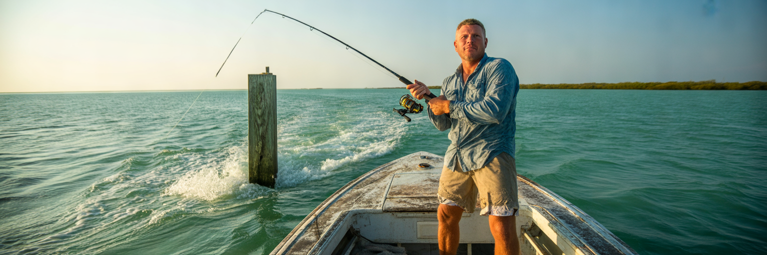
The Rule of Twelfths and Your Four-Hour Strike Window
Every seasoned saltwater captain lives by one truth: no flow means no bite. Beginners obsess over whether the water is three feet deep or four feet deep on a flat. Vertical depth alone just gives baitfish more room to scatter and hide. Horizontal current velocity is what actually triggers a feed. Moving water acts as a liquid conveyor belt, ripping shrimp, crabs, and glass minnows off the bottom and sweeping them past stationary structure. Predators know this, so they pin themselves nose-into-the-flow behind bridge fenders, oyster points, and pothole ledges, waiting for an easy meal to wash into their strike zone.
To time that conveyor belt, apply the Rule of Twelfths at the boat ramp. A standard six-hour tide does not move at a constant speed. During the first hour after dead slack, only one-twelfth of the total water volume moves. In the second hour, two-twelfths move. During the third and fourth hours, the floodgates open: three-twelfths of the water rushes through in each of those two hours, accounting for half of the entire tidal exchange. The fifth hour drops back to two-twelfths, and the sixth hour trickles out the final twelfth. Your true strike window starts one hour after slack and ends one hour before the next turn, peaking hard during hours three and four.
Florida Keys Spillway Dynamics: Big Flow on Small Height Changes
If you need proof that vertical tide height does not equal horizontal current speed, launch a boat in the Florida Keys. Look at a chart for Vaca Cut in Marathon or the Channel Two and Channel Five bridges near Islamorada, and you might see a pathetic 1.1-foot vertical difference between high and low water. On paper, that looks like a dead tide.
On the water, it is a raging four-knot rip that will drag an undersized anchor across the limestone bottom. Because the Gulf of Mexico and Florida Bay sit on a completely different tidal schedule than the Atlantic Ocean, one basin is often full while the other is low. Water dumps downhill through the narrow bridge cuts between the islands like a broken dam. A six-inch height differential across a narrow Keys channel creates more fishable current velocity than a four-foot tide spread out across an open coast.
The High-Slack Exception for Tailing Redfish
While fast water rules 90 percent of saltwater fishing, smart anglers take advantage of one prime exception to the dead-slack rule. When the tide maxes out on a super-shallow turtle grass flat, horizontal flow grinds to a halt for 30 to 45 minutes. For ambush predators like snook, this is downtime. For redfish, high slack on a knee-deep flat is prime foraging time.
Without a heavy current pushing against their flanks, reds can effortlessly tip vertical in twelve inches of water, pinning their noses into the mud and grass roots to root out blue crabs and snapping shrimp. Because the water surface goes glassy during slack, their blue-fringed tails stick straight out of the water like neon flags. You can learn exactly how to approach and cast to these hyper-focused fish without spooking the school in our tactical guide on sight-fishing redfish.
Once you are on the water, stop staring at your phone screen and read the real-time flow indicators around your boat. Check the crab trap buoys first: if a buoy is floating flat on its side with dry algae on top, the tide is dead slack; if it is pulled under at a 45-degree angle with a V-wake boiling behind it, the middle hours of the tide are ripping. Watch the turtle grass blades below the hull to see which direction they lay down, and look for current seams trailing behind wooden channel markers to verify exact flow speed before making your first cast.
Matching Tide Stages to Florida Inshore and Nearshore Structure
Working Grass Flats, Oyster Bars, and Flooded Mangroves
Mastering Florida inshore fishing tides comes down to moving your skiff with the water level so your bait is always in the highest-percentage ambush zone. On an inshore grass flat, the game changes every two hours. As the early flood begins pushing fresh water onto a shallow flat, set up along the deeper trough edges and sand drop-offs bordering the grass. Predators stage in these ditches during low water and ride the very first push of the rising tide onto the flat.
When the water reaches peak high and pushes past the grass line into the red mangrove prop roots, slide right in with it. Fish push deep under the overhanging branches to hunt mangrove crabs and shade themselves from the sun, requiring accurate skip-casts right into the dark pockets. As soon as the tide turns and begins draining off the flat, pull back immediately. Position your boat down-current of exposed oyster bar points, mud drains, and sandy potholes. Baitfish getting sucked off the draining flat are forced through these natural low spots, and gamefish stack up in the sandy depressions like trout in a river eddy. To keep your presentation clean when drifting pinfish or pilchards across shallow grass and potholes as the water drops, rig up using our breakdown of weedless live bait rigs.
Funnels and Rips: Passes, Inlets, and Bridge Pilings
When you shift from open flats to deep coastal neck-downs like Boca Grande Pass, Sebastian Inlet, or the Skyway Bridge, the debate over fishing incoming vs outgoing tide takes center stage. Both move massive water, but they concentrate bait differently.
An incoming tide pushes clear, salty, temperature-stable ocean water through the pass, carrying coastal baitfish like greenbacks, threadfins, and Spanish sardines into the bay. Fish stage on the inside corners of inlet jetties and the up-current side of bridge pilings to intercept this clean water pulse. However, most veteran pass anglers prefer the outgoing tide. The falling cycle acts as a giant funnel, sucking warm water out of miles of backwater creeks, marshes, and grass flats and forcing it through a single narrow throat. Millions of pass crabs, pink shrimp, and glass minnows have nowhere to hide as they get flushed straight past concrete bridge fenders and rock jetties.
Reading Surf Troughs, Cuts, and Sandbar Breaks
Beach and nearshore surf anglers can use the tidal cycle as natural sonar. Never show up at the beach for the first time at high tide; you will just be blind-casting into whitewater. Walk the beach at dead low tide when the inner sandbars are exposed or barely ankle-deep. Mark the deep dark-water sloughs running parallel to the sand, and drop GPS pins on the narrow cuts or “rip channels” where water drains through the outer sandbar.
Return to those exact pins two hours before high tide. As the rising surf floods over the outer bar, pompano, whiting, snook, and tarpon cruise right into that first deep trough ten yards off the dry sand, using the cuts as highways between the open ocean and the beach face.
Regardless of whether you are working a beach cut, a mangrove point, or a bridge piling, boat positioning dictates your hookup ratio. Always anchor or engage your trolling motor spot-lock up-current of the target structure, never down-current waiting to cast back into the flow. Predators face into the current. By positioning up-current and letting your bait sweep naturally back toward the pilings or potholes, your offering arrives head-first right in front of the fish’s eyes without your hull silhouette or motor noise drifting over the school.
- Early Flood: Deep grass edges, sandbar cuts, and outer oyster bar perimeters where fish stage before moving shallow.
- Peak High Water: Flooded red mangrove root systems, backcountry marsh ponds, and the first beach trough tight to the sand.
- Early to Middle Ebb: Creek mouths, draining flat runoffs, bridge fenders, and the ocean side of coastal inlets.
- Dead Low Water: Deep sandy potholes, dredged residential canals, ICW channel ledges, and deep pass holes.
Dialing In Snook, Redfish, Tarpon, Trout, and Nearshore Pelagics by the Tide
Snook and Tarpon: Heavy Outgoing Flushes vs. High Incoming Creeks
Ask ten charter captains along Tampa Bay or Jupiter Inlet about the best tide for snook fishing, and nine of them will point to a ripping outgoing tide. Snook are classic ambush feeders built with a sloped forehead and an undershot jaw designed to blast baits washing overhead. When a heavy outgoing flush pulls water around dock pilings, seawall corners, and pass jetties, snook stack tightly along the shadow lines and current seams, burning minimal energy while gorging on swept shrimp and baitfish. Once that outgoing tide dies, transition to backwater mangrove creeks on the high incoming cycle, when rising water gives big female snook enough clearance to hunt mullet tight against the shoreline.
Tarpon follow a similar heavy-flow playbook, especially from late spring through summer. During the major outgoing flushes on the new and full moons—known locally along the Gulf Coast as hill tides—millions of tiny brown pass crabs detach from the bay grass and flush out through deep passes and under coastal bridges. Tarpon stage in massive rolling schools right in the turbulent rips behind bridge fenders and pass edges, gulping crabs pushed by the ebb.
Redfish and Gator Trout Across the Flats and Drop-Offs
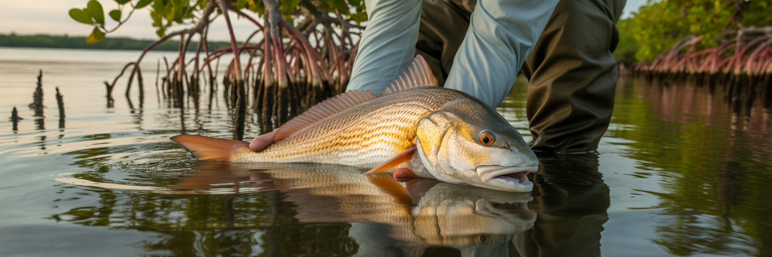
Redfish and spotted seatrout share the same estuaries, but they work opposite ends of the tidal thermometer. Redfish are built with flat bellies and sub-terminal mouths made for rooting on the bottom in skinny water. As soon as the rising tide covers a bare mud flat or floods an oyster bar with six inches of water, reds push straight up onto the shallow shelf. They ride the leading edge of the incoming water all the way to the shoreline. For a full breakdown on locating and fooling these shallow-water cruisers, check out our comprehensive collection of Florida redfish tips.
Big gator trout play a much lazier game. While smaller schoolie trout roam the mid-depth grass during moving water, trophy trout over 24 inches rarely burn calories chasing bait into ankle-deep water. They prefer the middle falling tide. As the water drops off the shallow grass flats, big trout slide off the shelf and stage along deep grass drop-offs, sand holes, and four-to-six-foot channel ledges, waiting to ambush mullet and pinfish forced off the shallow flats.
Nearshore Plumes, Color Edges, and Current Rips
Tidal flow does not stop working once it clears the inlet jetties. When a strong outgoing tide dumps out of ports like Haulover, Ponce Inlet, or Destin Pass, it pushes a massive fan of warm, nutrient-rich, tannin-stained bay water a mile or two into the open ocean. Where that murky inshore discharge collides with clear, salty coastal water, it forms a sharp visual color edge and surface current rip.
Floating sargassum weed, debris, and baitfish pods get trapped right in that convergence zone. Kingfish, cobia, Spanish mackerel, and mangrove snapper patrol the dirty side of the mud line looking into the clean water. Further south along the Palm Beach and Keys drop-offs, these outgoing tidal plumes collide directly with the western edge of the Gulf Stream, stacking up nearshore mahi mahi along the weed lines. Before dragging baits along those current seams, review selecting the best mahi lures for trolling to make sure your spread matches the speed and forage of the rip.
Adjusting Lead, Jig Heads, and Live Bait Rigs to the Flow
Matching the species and tide stage means nothing if your bait blows horizontally across the surface in a three-knot current. You have to adjust your terminal tackle every hour as the Rule of Twelfths ramps up the flow. During the first hour of movement on a flat, freeline a live pilchard on a light wire circle hook or throw a 1/8-ounce jig head so the bait sinks slowly without hanging in the turtle grass.
When hours three and four kick in inside a pass or along a channel ledge, that 1/8-ounce jig will never touch bottom. Step up to a 1/4-ounce or 1/2-ounce jig head, pinch a heavy split-shot 18 inches above your live bait hook, or switch to a sliding egg sinker pushed right against the eye of the hook so you can hold bottom where the predators are pinned. You can dial in the exact lead weights and leader lengths needed for heavy pass and nearshore currents in our Florida bottom fishing rigs guide.
| Target Species | Prime Tide Stage | Key Ambush Zone | Current-Matched Rigging |
|---|---|---|---|
| Snook | Peak Outgoing (Passes) / High Flood (Creeks) | Inlet pilings, dock shadow lines, mangrove points | 1/4 to 1/2 oz flare jig or heavy split-shot live bait |
| Redfish | Early Rising to High Slack | Flooded grass flats, oyster bar edges, mud potholes | 1/8 oz weedless spoon, soft plastic on light jig head |
| Spotted Seatrout | Middle Falling Tide | Deep grass drop-offs, sand holes, channel ledges | Suspending twitchbait or popping cork with fluorocarbon leader |
| Tarpon | Strong Outgoing Flush (Hill Tides) | Bridge fenders, pass edges, nearshore beach troughs | Freelined pass crab or mullet on heavy circle hook |
| Nearshore Pelagics and Snapper | Late Outgoing Plume | Inlet color changes, current rips, nearshore reefs | Knocker rig for bottom; rigged ballyhoo or chuggers on surface edges |
How Wind, Barometric Pressure, Rain, and Moon Phases Alter the Chart
Spring vs. Neap Tides: Moon Phases and Current Velocity
Your tide app knows where the moon is, which is why the height curves change shape every week. During the new and full moons, the sun and moon align to pull on the ocean from the same plane, creating spring tides. Spring tides do not have anything to do with the spring season; they “spring forth” with maximum vertical range and peak horizontal velocity. Flats flood six inches deeper, opening up backwater ponds fish cannot reach for two weeks, and low tides drain oyster bars bone dry. The catch is that intense current compresses the bite into short, furious windows before the water rips too hard to fish.
During the first and third quarter moons, the sun and moon pull at right angles to each other, partially canceling out their gravitational force and producing neap tides. Water movement flattens out and current speeds drop. On a neap tide, fish are not pinned aggressively to tight ambush points, and they have plenty of time to inspect your offering. When fishing neap cycles, drop down from 25-pound leader to 15-pound fluorocarbon, downsize your lures, and work wider areas of the flat.
How Wind Direction Blows Out Bays or Stacks Water Inshore
The biggest mistake visiting anglers make is trusting an astronomical tide chart during a weather pattern. NOAA tide predictions are calculated assuming zero wind and standard barometric pressure. In the real world, wind pushes water around like soup in a shallow bowl.
When a winter cold front roars down the state and packs a 20-knot north or northeast wind, it physically blows water out of Gulf Coast estuaries like Tampa Bay, Charlotte Harbor, and Cedar Key. The outgoing tide will start an hour early, run twice as fast, and drop a full foot lower than the chart predicts. When the incoming tide tries to fight back against that north gale, it barely trickles in, leaving flats dry all day and forcing fish into deep, dark-bottom holes. You can learn how to adjust your locations during these extreme low blow-outs in our winter redfish guide. Conversely, three days of stiff east winds on the Atlantic Coast or west winds on the Gulf will stack water inside the bays, preventing the low tide from ever draining out.
Barometric Drops, Summer Downpours, and the Solunar Myth
Atmospheric pressure and rainfall warp the chart just as hard as wind. High barometric pressure pushes down on the ocean surface like a giant plunger, slightly depressing water levels, while low pressure prior to a squall allows water levels to rise higher than predicted. More importantly, fish feel that pressure change in their swim bladders. When a falling barometer lines up with a strong outgoing tide, inshore predators go on an absolute feeding blitz knowing rough weather is about to dirty the water.
Watch out for the aftermath of heavy Florida summer downpours. When five inches of rain dumps over the watershed in two hours, the local rivers and flood-control canals open up. The outgoing tide turns into a chocolate-milk freshwater flush, while the incoming tide gets stalled at the river mouths. Salinity-sensitive trout and snook will abandon the upper creeks immediately and slide miles down-estuary toward the ocean passes to stay in salty water.
While we are talking about charts, let us clear up the solunar myth. Plenty of apps try to sell you on “major and minor feeding times” based on when the moon is directly overhead or underfoot. We will tell you straight: moving water in a pass always beats a solunar table. If a solunar major period falls on dead slack water inside an inlet, those fish are not magically going to start chewing. Only care about solunar windows when they happen to overlap with hours three and four of a moving tide.
When a weather front is pushing through, apply this quick captain’s field math to your tide chart: for every 10 knots of wind blowing with the tide, expect the turn to arrive 30 minutes early and add 4 to 6 inches of water depth in the direction of the blow. For every 10 knots of wind blowing straight against the tide, add 45 minutes of delay to the turn and shave half a foot off the predicted peak.
Planning Launches, Running Windows, and Safe Returns Around Local Water Levels
Dodging Low-Tide Ramp Drop-Offs and Backcountry Sandbars
Tide charts do not just put fish in the cooler; they keep your lower unit attached to the transom and your truck out of the tow yard. Many older Florida county boat ramps and unimproved backcountry launches have short concrete pads that end abruptly in a deep prop-wash hole caused by decades of anglers power-loading their boats. Back your trailer down during a negative winter low tide without checking the chart, and your rear trailer axles will drop right off that concrete lip. Getting the trailer back over that ledge with a 22-foot bay boat sitting on the bunks will ruin your morning before you even start the motor.
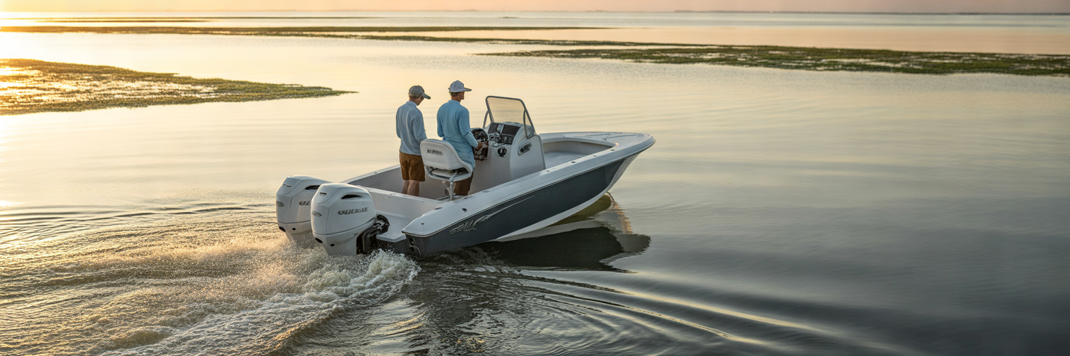
Once you clear the ramp, your running window is governed by the tide clock. It is easy to run across a shallow sandbar or slip through a mangrove creek mouth at three-quarter rising tide to reach a hidden backcountry pond. If you lose track of time while catching redfish and stay an hour past the turn, that two-foot creek mouth entrance will be a four-inch mud bar. Always set an alarm on your phone or MFD for the first hour of the falling tide so you can pull off shallow flats before your hull gets stranded high and dry for the next six hours.
Respecting Ocean Inlets When Outgoing Water Meets Onshore Wind
If your trip takes you through notorious coastal passes like Haulover Inlet, Jupiter Inlet, Boynton Inlet, Boca Grande, or Destin East Pass, the tide chart is a vital piece of safety gear. An ocean inlet is tranquil on an incoming tide when the wind and water move together. Flip that scenario around—a heavy spring outgoing tide dumping three knots of water seaward right into the teeth of a 15- to 20-knot onshore ocean breeze—and that same pass turns into a washing machine.
When outgoing water collides with incoming wind waves, the wavelength compresses and the wave height doubles, stacking up steep, closely spaced standing waves with curling whitecaps. If you have a small skiff or bay boat, time your return through the inlet for slack tide or the incoming cycle. If you have to punch through an outgoing rage, secure all hatches, put life jackets on the crew, trim the bow up slightly, and work the throttle steadily to ride the back of a wave set into the pass rather than stuffing the bow into a trough.
Using Slack Tide for Runs, Bait Netting, and Re-Rigging
Tournament pros and full-time charter captains maximize their catch rates by treating dead slack tide as logistics time. Since predators rarely feed when the current dies, stop wasting casts over lockjawed fish during that 60-minute slack window. Use that slow hour to make your long boat runs between spots so you arrive at the next bridge or flat right as the new tide starts to trickle.
Slack water is also the prime time to throw the cast net. Greenbacks, pilchards, and mullet school up tighter and stay higher in the water column over grass flats when they are not fighting a heavy current, allowing your net to sink straight down over the pod instead of drifting sideways. Once the livewell is blacked out with bait, anchor up, grab a sandwich, and re-tie every frayed fluorocarbon leader on the deck so you spend 100 percent of the peak flow with a bait in the water. Run through this five-point safety and timing protocol the night before every launch:
- Check launch and retrieval depths: Confirm the exact tide height at the ramp for both your morning launch and afternoon haul-out to avoid trailer drop-offs.
- Compare inlet tide to wind direction: Verify you are not planning to cross an ocean pass during peak outgoing flow against a 15-knot onshore wind.
- Set a shallow-water exit alarm: Mark the exact minute the tide turns to fall if you plan to push past shallow sandbars or creek mouths.
- Schedule your slack-water chores: Block out the one-hour slack window for cast-netting bait, running between zones, and re-rigging tackle.
- Log your draft clearance: Know your boat’s exact loaded draft and add a full foot of buffer when reading negative MLLW numbers on the chart.
Stacking Tide Data with Water Temp, Clarity, Salinity, and Local Reports
Seasonal Water Temps and the Clean-Water Salt Wedge
A tide chart tells you when the water is moving, but pairing that flow with water temperature, clarity, and salinity tells you where the fish are actually staging. In January and February, water temperature dictates everything. An early morning incoming tide flooding over a shallow sand flat will push bone-chilling ocean water onto a cold bottom, shutting the bite down. Wait for an afternoon incoming tide after the sun has baked a dark mud bottom for four hours; as the rising water creeps over that solar-heated mud, it warms up two or three degrees and pulls every redfish and snook in the creek onto the flat. Flip that script in August: when bay water hits 88 degrees at midday and holds low dissolved oxygen, fish the incoming ocean tide near the passes where cooler, hyper-oxygenated surf water flushes into the estuary.
Pay attention to salinity density as well. Saltwater is heavier and denser than freshwater. When an incoming tide pushes into a river mouth or coastal bay after a rainy week, the clean, high-salinity ocean water slides right underneath the murky, tannin-stained freshwater sitting on top. This creates a distinct salt wedge along the bottom and a sharp surface clarity seam where green water meets brown water. Baitfish get disoriented along that exact density edge, and gamefish patrol the clean lower layer while striking upward into the dirty water.
Finding Compound-Positive Windows with Real-Time Reports
The secret to consistent trophy days is stacking your variables until you find a compound-positive window. Do not just look for a good tide. Cross-reference the HookCurrent tide chart with real-time water temperature, wind direction, barometric trends, and current local fishing reports. When a local report confirms threadfin herring are stacked inside a specific pass, and you see a falling barometer, a 10-knot wind blowing with the flow, and hours three and four of an outgoing spring tide all converging between 7:00 AM and 9:00 AM, drop everything and get on the water. That two-hour convergence will out-produce eight hours of blind casting on a mediocre tide.
Start keeping a dedicated tide log in your tackle bag or notes app after every trip. Never just write down that you caught snook at high tide. Record the exact stage down to the hour—such as “Dock #4 fired two hours into the falling tide on a 2.4-foot exchange with a 10-knot southeast breeze and three feet of visibility.” Because the lunar cycle repeats every two weeks, you can look at the calendar 14 days later, spot that exact same tidal stage and wind setup, and replicate the pattern before anyone else at the ramp figures it out. Make sure your rods, reels, and terminal tackle are dialed in for those exact logged setups by reviewing our complete Florida inshore fishing gear guide.
Stop treating the tide chart like a suggestion and start treating it like your primary piece of electronics. Pull up the local station data, calculate your creek offsets, match your tackle to the middle four hours of the flow, and go put a bend in the rod.