
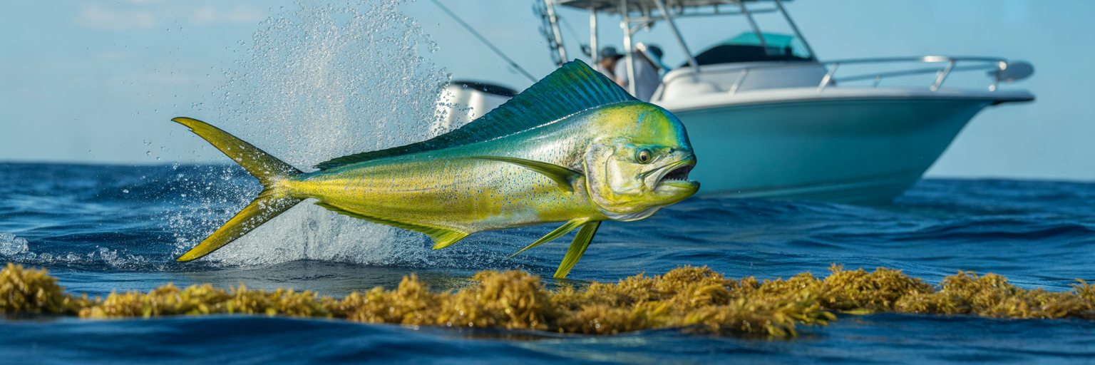
A bull mahi can pack on up to five pounds a month in warm offshore currents, making it one of the fastest growing pelagic predators in the ocean. Catching that migration at its peak means looking past the wall calendar and tracking where Florida’s thermal breaks and blue water actually collide. Understanding Florida Mahi Seasons by Coast and Region gives your crew the tactical edge to intercept heavy gaffers and thick packs of schoolies right when they push onto your local ledge.
Understanding Florida Mahi Seasons by Water Temp and Currents
While Florida dolphin fishing stays legally open 365 days a year, burning fuel blindly does not fill the fishbox. Putting meat on the deck comes down to tracking pelagic biology rather than circling a static date on the wall. The real triggers for our mahi mahi fishing are clean cobalt water, active bait migrations, and surface temperatures that lock into a specific comfort zone.
The 75 to 85 Degree Thermal Trigger
Mahi live on a fast metabolic clock that demands warm water and constant calories. Once surface temps stabilize between 75 and 85 degrees Fahrenheit, flying fish, ballyhoo, and juvenile pelagic crabs flood the upper water column. Two massive ocean conveyor belts drive this entire system around the peninsula. The Loop Current pushes warm Caribbean water up into the Gulf of Mexico, while the Gulf Stream funnels a relentless northbound highway right up the Atlantic seaboard.
Where those warm currents rub against cooler green shelf water, you get sharp thermal breaks and distinct salinity edges. Add three days of sustained 15 knot easterly winds, and those current edges compress tight against the reef line, stacking floating sargassum mats and bait within easy range of coastal inlets.
The Statewide Calendar from Spring Push to Rogue Winter Bites
Tracking the best time to catch mahi in Florida means following the warm water north as the seasons shift. Across the state, April through August delivers the most consistent action for sheer numbers. If you had to pick a single peak window on the Atlantic side, circle May. That is the prime overlap month when five of the six major East Coast ports fire simultaneously as fresh waves of spring gaffers ride the Stream north.
As the summer heat bakes the surface from July through September, the smaller schoolies scatter widely, but this late summer window regularly produces the heaviest gaffer and slammer fish of the year before the autumn cooldown. Do not write off the winter months in South Florida either. When a sharp January or February cold front rolls through and clocks the wind out of the northeast, it stacks the Gulf Stream tight against the reef edge and pushes aggressive packs of rogue winter gaffers into 150 feet of water.
Recap Key Takeaways: Target the 75 to 85 degree temperature window where clean current meets shelf water, plan around the massive May statewide overlap for peak spring action, and always trust real time Sea Surface Temperature charts over a paper calendar before loading the boat.
The Florida Keys and Islamorada Offshore Pipeline
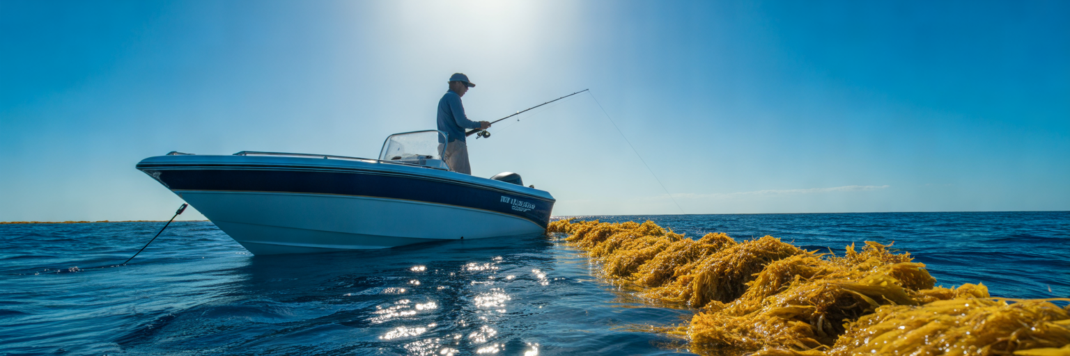
Once those thermal triggers lock in down south, the island chain becomes ground zero for pelagic action. From Key Largo down through Islamorada, Marathon, and Key West, the Straits of Florida squeeze the entire volume of the Gulf Stream through a narrow chute right against the outer reef. That geographic bottleneck makes the Keys the undisputed capital of Florida dolphin fishing, putting deep blue water and major bottom contours just 5 to 20 miles from the boat ramp.
Spring Gaffer Waves vs Summer Sargassum Mats
Timing the Florida Keys mahi season depends on whether your crew wants to wrestle heavy single fish on heavy tackle or bail dozens of schoolies on light spinning gear. April and May kick off the spring run with aggressive packs of solid 12 to 20 pound gaffers pushing north on the current edge. Crews planning an early trip down the Overseas Highway can check our Florida Keys mahi calendar for spring crews to dial in the exact week those big spring fish show up off Islamorada and Marathon.
By June, July, and August, the wind lays down and the Straits fill with thick golden sargassum mats. Summer is prime time for numbers, with huge packs of peanuts and legal schoolies stacked under every established weed line alongside the occasional deep water slammer patrolling underneath. Come September and October, the summer boat crowds thin out just in time for a late push of trophy bulls and heavy cows chasing flyers through the deep channels before the winter scatter.
Working the Humps and Beating the Fleet
You cannot talk about Keys offshore fishing without talking about bottom structure. Two famous seamounts, the Islamorada Hump (409 Hump) and the Marathon West Hump, rise sharply out of the abyss to force deep, nutrient rich water toward the surface. That upwelling, combined with the steep wall drop offs between 400 and 1,500 feet, creates permanent surface slicks and current rips that hold blackfin tuna, skipjack, and hungry mahi all season long.
The catch during peak summer months is the heavy recreational and charter fleet working those exact same numbers. By 9:00 AM on a Saturday in June, fifty boats crisscrossing the 409 Hump will put enough engine noise in the water to drive surface schools down or make them lock their jaws. Smart captains either time their departures for Tuesday through Thursday or punch the throttles an extra 25 to 35 miles offshore past the humps to find unpressured weed lines and virgin floating debris.
Recap Key Takeaways: Focus on April through October depending on whether you want spring gaffers, summer numbers, or fall trophies, work the upwelling edges from the 400 foot wall out past the humps, and run deeper past the fleet when summer weekend boat traffic spooks the surface bite.
Southeast Florida Short Runs from Miami to Stuart
Follow that same compressed Gulf Stream current north past Key Biscayne and the fishing game changes completely. Along the urban mainland from Miami and Fort Lauderdale up through Boca Raton, Boynton, Palm Beach, Jupiter, and Stuart, the continental shelf hugs the shoreline tightly. Off Boynton and Palm Beach, the ledge pushes so close to the beach that you can clear the inlet and drop lines in pelagic blue water within 3 to 15 miles.
How East Winds Stack the Ledge from Palm Beach to Jupiter
Because the deep drop sits right outside the sea buoy, wind direction dictates everything in Southeast Florida. The local spring run turns on hard in April and hits full stride in May when steady 10 to 15 knot east and southeast trade winds blow day after day. Those onshore breezes push the western wall of the Gulf Stream, scattered sargassum mats, and Portuguese man o’ war right onto the 120 to 300 foot ledge. Before sliding your baits back along the color change, review our boat angler’s guide to mahi weed lines so you can separate fertile, bait holding grass from dead scattered weeds.
When July and August bring slick calm mornings or persistent west winds, that clean blue water and floating structure get blown 20 or more miles offshore. A west wind flattens the ocean right against the beach, making for a comfortable ride, but it forces you to burn fuel out to 600 to 1,200 feet to find cooler water and active fish. Once autumn arrives, the October mullet run triggers a ferocious nearshore feed along the edge, followed by a reliable winter bite where stout gaffers regularly hammer live baits set out under kites for sailfish.
Live Baiting the Edge and Chasing Frigatebirds Deep
Heavy boat pressure out of Government Cut, Hillsboro, Boynton, Palm Beach, and Jupiter inlets means these fish see plenty of standard trolling spreads. When executing offshore mahi fishing Florida along this crowded corridor, local crews gain an advantage by clearing the inlet at grey light with a blacked out livewell full of pilchards, threadfin herring, or goggle eyes. Slow trolling or drifting live baits right along the 150 foot temperature break catches educated gaffers early before the mid morning troll bite even starts.
Once the sun gets high and the inshore edge gets picked clean by the local fleet, stop blindly dragging ballyhoo through dead water. Pull the throttles back, get a crew member up on the bow with stabilized binoculars, and scan the eastern horizon for a solitary frigatebird circling low in 700 to 1,000 feet. One bird tracking a single pair of 25 pound gaffers out in the deep blue will save your whole trip when the reef edge goes quiet.
Recap Key Takeaways: Take advantage of 3 to 15 mile runs off the Southeast mainland during the April to June peak and the October push, use sustained east winds to fish the 120 to 300 foot ledge with live bait early, and push past 600 feet chasing frigatebirds when summer calms or west winds slide the edge out deep.
Northeast and Central East Coast Runs from Cape Canaveral to Jacksonville
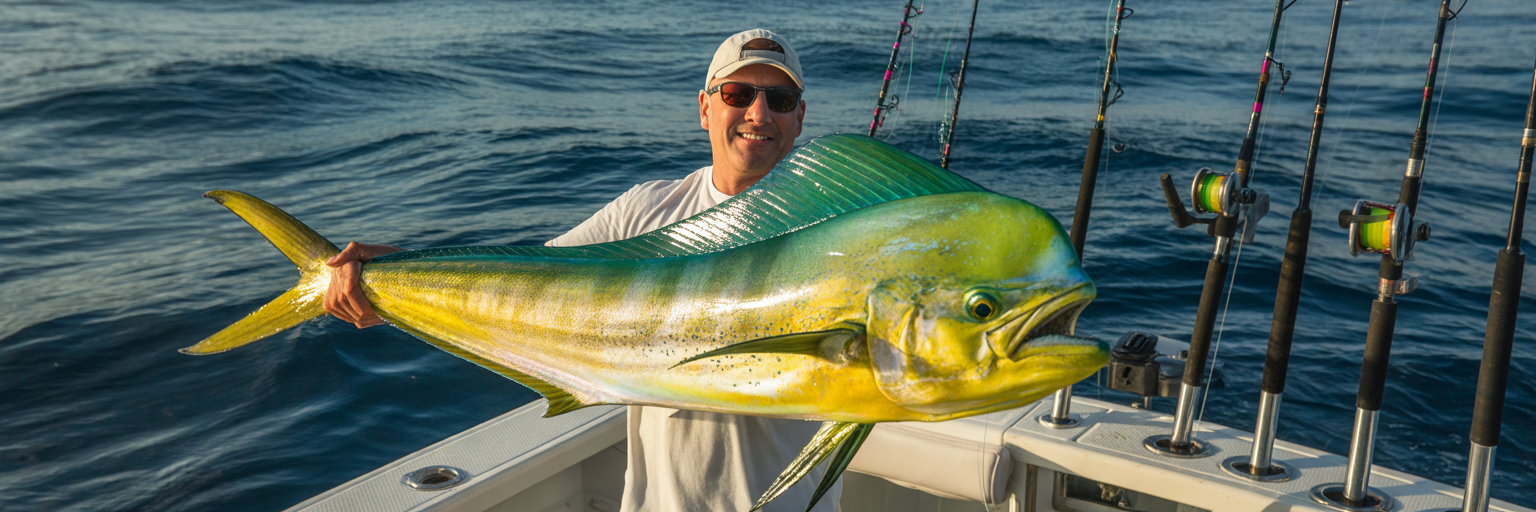
Once you run north of Sebastian Inlet, those quick three mile hops to the drop off disappear in the rearview mirror. From Cape Canaveral and Ponce Inlet up through St. Augustine and Jacksonville, the continental shelf widens dramatically as the coastline cuts west and the Gulf Stream bends northeast. Reaching productive pelagic blue water up here requires serious boat preparation, with standard runs stretching 25 to 40 miles out of Canaveral and a grueling 50 to 70+ miles off St. Augustine and Jax.
Working the 27 Fathom Ledge, The Steeples, and Temperature Breaks
Because of the long run and cooler northern latitudes, the prime calendar window up here is condensed and intense. Late April, May, and June represent the true strike zone when the western wall of the Gulf Stream spins warm eddies closer to the 20 fathom and 30 fathom curves. July and August still hold respectable numbers of fish around deep bottom contours, provided mid summer surface temperatures do not spike past 86 degrees and push the bait deeper.
Success in the northern sector revolves around concrete bottom structure that interacts with the current. Crews focus heavily on the 27 Fathom Ledge, the rugged bottom of The Steeples, and the deep roll off where cold 68 degree bottom water wells up against 78 degree surface currents. Those violent upwellings build distinct temperature breaks, sharp color changes from green to cobalt, and miles of tightly packed rip lines loaded with flying fish and squid.
Long-Range Fuel Planning and High-Speed Trolling Spreads
Running 60 miles each way demands respect for the weather and your fuel gauge. Northern Atlantic crews watch wave period numbers closely, knowing a 3 foot swell at 11 seconds is an easy cruise while a 3 foot wind chop at 5 seconds will beat a crew to pieces over a two hour run. You have to calculate true deck range following the one third fuel rule, often carrying an auxiliary fuel bladder on the deck when hunting eddies past the ledge.
With miles of open ocean separating productive satellite temperature breaks, slow trolling eats up too much fishing time. Crews up here pull higher speed trolling spreads at 7 to 9 knots using split bill or weighted ballyhoo tucked behind heavy sea witches, concaves, and jet heads to cover ground fast. Dialing in your spread with our breakdown on mastering trolling lures for mahi ensures your baits track straight and swim clean when covering big water between rips.
Florida Regional Mahi Calendar and Offshore Run Comparison
| Region | Prime Months | Typical Run to Pelagic Water | Key Structure and Targets |
|---|---|---|---|
| Florida Keys | April to August (Big bulls Sept to Oct) | 5 to 20 miles | Islamorada 409 Hump, Marathon West Hump, 400 to 1,500 ft wall |
| Southeast Florida (Miami to Stuart) | April to June, October | 3 to 15 miles | 120 to 300 ft ledge, Gulf Stream western edge, deep weed lines |
| Central and Northeast (Canaveral to Jax) | Late April to June | 25 to 70+ miles | 27 Fathom Ledge, The Steeples, 20 to 30 fathom thermal breaks |
| Southwest and Central Gulf (Naples to Tampa) | Late May to September (Peak July to Aug) | 60 to 120 ft (schoolies) or 80 to 100+ miles (blue water) | Crab trap buoys, shrimp boat slicks, Florida Middle Grounds, Loop Current eddies |
| Florida Panhandle (Destin to Pensacola) | Late May to September | 30 to 100+ miles | DeSoto Canyon, The Spur, coastal bay rips, deepFADs and floating oil rigs |
Mileage and seasonal windows reflect typical Gulf Stream and Loop Current positions relative to coastal inlets, though strong east winds or warm eddies can push fish closer to the beach.
Recap Key Takeaways: Circle late April through June as the high octane window for Canaveral to Jacksonville, plan your fuel burn for 25 to 70+ mile runs out to the 27 Fathom Ledge and The Steeples, and pull faster trolling spreads to connect the dots between satellite thermal breaks.
Southwest and Central Gulf Coast Strategies from Naples to Tampa Bay
Cross the state over to the West Coast and the underwater topography flips the script entirely. From Marco Island and Naples up through Fort Myers, Boca Grande, Sarasota, Tampa Bay, and Clearwater, the West Florida Shelf slopes outward at a gradual incline. Because you have to run 80 to 100+ miles just to find traditional pelagic depths, Gulf Coast mahi fishing plays by its own set of rules.
The Long Run to Loop Current Eddies vs Nearshore Chicken Dolphin
Waiting for the Gulf of Mexico to warm up pushes the West Coast calendar back a few weeks compared to the Atlantic. The season wakes up in late May and runs through September, hitting peak stride in July and August. During the height of summer, clockwise Loop Current eddies peel off the main deep water current and push gin clear purple water and scattered sargassum right onto the Florida Middle Grounds and deep western steps. Multi engine center consoles making long runs out past the 40 fathom curve regularly cross paths with legitimate 25 to 35 pound gaffer bulls patrolling those deep breaks.
You do not need triple outboards and a 300 gallon tank to catch mahi on the West Coast, however. Every summer, once nearshore surface temps cross 82 degrees, huge waves of greedy 20 to 30 inch chicken dolphin invade 60 to 120 feet of water. They stage around stone crab trap lines, public artificial reefs, floating wood, and anchored shrimp boats cleaning their nets within 18 to 35 miles of the passes.
Why Every Summer Bottom Trip Needs Two Pitch Rods in the T-Top
Ask any veteran Tampa Bay or Fort Myers bottom fisherman how they catch most of their summer mahi, and the answer is always the same: by accident while anchored up for red grouper and mangrove snapper. When you have a frozen chum block melting in a mesh bag off the stern cleat and live scaled sardines flying out the back, that oily slick travels a half mile downtide. Curious packs of neon lit schoolies smell that trail and swim right up to the swim platform.
If your whole crew only brought heavy 60 pound conventional grouper rods and light 10 pound snapper setups, you will watch two dozen mahi eat your freebies and swim away while you scramble to re-rig. Follow the mandatory Gulf Coast summer rule: before leaving the dock, stick two medium heavy spinning rods rigged with 30 pound fluorocarbon leader and a 1/2 ounce white bucktail jig or naked 3/0 live bait hook in the T-top rocket launchers. The second someone yells “mahi behind the boat,” grab a pitch rod, pin on a frisky pilchard or chunk of bonito, and keep the school fired up right at the transom.
Recap Key Takeaways: Target the late May through September window with a peak in July and August, decide between 80+ mile runs to Loop Current eddies for bulls or hunting 60 to 120 foot nearshore structure for schoolies, and never anchor up for summer bottom fish without two dedicated pitch rods ready in the T-top.
Florida Panhandle Deep Water Runs from Destin to Pensacola
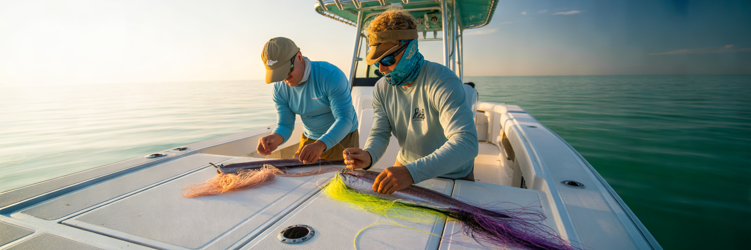
Head northwest past Cape San Blas toward Panama City, Destin, and Pensacola, and you leave that shallow, gradual shelf behind. Up here in the Panhandle, the massive submarine trench of the DeSoto Canyon slices right toward the emerald beaches. While true blue water pelagic runs still span 30 to 100+ miles out to the deep steps and rigs, the canyon brings the 100 fathom curve closer to Destin’s East Pass than anywhere else on the entire Gulf Coast.
How the DeSoto Canyon and Coastal Bay Outflows Stack Bait
Because of its northern latitude, the Panhandle fishery runs on a tight seasonal switch. Everything turns on in late May once the last spring cold fronts fade and surface temps climb past 75 degrees. The bite stays red hot through June, July, and August, holding steady into September until the first crisp northern autumn fronts chill the upper water column and push the pelagics south.
What makes the Panhandle unique is how coastal runoff interacts with deep canyon currents. On a heavy outgoing tide, dark nutrient rich water pouring out of Choctawhatchee Bay, St. Andrew Bay, and Pensacola Pass collides directly with gin clear Loop Current eddies pushing up the DeSoto Canyon wall. That collision creates miles of violent current rips and sharp trash lines just 15 to 30 miles off the beach, stacking threadfin herring, cigar minnows, and hardtails right on the color change alongside deep water FADs (Fish Aggregating Devices) and floating drillships further offshore.
Working 25-Mile Grass Lines vs Overnight Runs to the Rigs
Panhandle crews generally pick between two very different offshore game plans depending on boat size and weather windows. Before plotting your waypoints out of East Pass toward the canyon edge, check our Destin offshore spot guide for private boat crews to match your hull range with the right summer ledges and rips. For single engine or mid size center consoles, the go to play is running 20 to 35 miles off the beach to run and gun along coastal grass mats and bay outflow rips, pitching live cigar minnows and jigs to aggressive packs of schoolies and teenaged gaffers.
For larger sportfishers and long range center consoles, the ultimate northern Gulf trip is loading the fishboxes with extra ice for an overnight run out to The Spur, the Steps, and the deep floating oil rigs 70 to 120 miles south. Out around those towering steel legs and deep canyon drop offs, 30 to 50 pound slammer bulls patrol right underneath massive surface schools of blackfin and yellowfin tuna, smashing live hardtails and magnum trolling plugs pulled along the current upwellings.
Recap Key Takeaways: Focus your Panhandle calendar from late May through September, use the DeSoto Canyon depth advantage to work bay outflow rips 20 to 35 miles out for schoolies, or push 70 to 100+ miles to the deep FADs, canyon steps, and floating oil rigs for trophy slammers.
Atlantic vs Gulf FWC Regulations and Bag Limits
Knowing where and when to find the fish is only half the job; knowing what can legally go in the icebox keeps your trip from ending with a costly citation at the boat ramp. Because the Atlantic coast and Florida Keys see relentless year round angler pressure from the entire Eastern Seaboard fleet, state fishery managers enforce a sharp regulatory divide between our two coastlines. Staying on top of Florida dolphin fishing regulations means knowing exactly which body of water you are fishing and what rules apply once you cross inside or outside federal lines.
State and Federal Size and Bag Limits by Coast
In Atlantic state waters, which extend from the Georgia border all the way down through Miami and include all of Monroe County and the Florida Keys, anglers must follow strict harvest caps. You face a mandatory 20 inch minimum fork length measured in a straight line from the tip of the lower jaw or snout to the center fork of the tail. The daily bag limit in Atlantic state waters sits at 5 fish per harvester or 30 fish per vessel, whichever is less, and captain and crew are strictly prohibited from retaining a bag limit on for hire charter trips.
Cross over into Gulf of Mexico state waters north and west of the Monroe/Collier county line, and the rules open up considerably. Gulf state waters carry no minimum size limit for mahi mahi, paired with a generous daily bag limit of 10 fish per harvester or 60 fish per vessel, whichever is less. Before untying from the dock, every captain should verify current state and federal boundary updates directly through the official Florida Fish and Wildlife Conservation Commission saltwater fishing portal to ensure full compliance.
Florida Atlantic vs Gulf Mahi Mahi Regulations
| Regulation Factor | Atlantic State Waters (Includes Monroe County/Keys) | Gulf of Mexico State Waters |
|---|---|---|
| Minimum Size Limit | 20 inches fork length | No minimum size limit |
| Daily Bag Limit (Per Person) | 5 fish per harvester | 10 fish per harvester |
| Daily Vessel Limit | 30 fish per vessel (whichever is less) | 60 fish per vessel (whichever is less) |
| Charter Captain and Crew Limit | Zero (cannot retain bag limit on for-hire trips) | Included in vessel limit per state rules (verify federal reef/pelagic permits) |
Regulations reflect current Florida Fish and Wildlife Conservation Commission (FWC) standards for state waters; federal waters beyond 3 miles in the Atlantic and 9 miles in the Gulf follow South Atlantic and Gulf Council rules.
Fast Release Ethics for Sub-Legal Atlantic Peanuts
During the peak of the summer run in the Keys and Southeast Florida, it is common to have a pack of fifty hungry 16 to 19 inch peanut mahi surround the boat. Dropping short fish onto a hot nonskid fiberglass deck, grabbing them with a dry cotton towel, and wrestling a hook out with pliers strips away their protective slime coat and causes high post release mortality. Keep a pair of long nose stainless dehookers sitting right on the gunwale. When an Atlantic fish looks clearly short of the 20 inch mark, grab the leader next to the boat, invert the hook with the dehooker while the fish stays completely submerged in the water, and send it back healthy to pack on ten pounds by next spring.
Recap Key Takeaways: Remember the strict 20 inch fork length minimum and 5 per person / 30 per boat limit in Atlantic and Keys waters versus no size limit and 10 per person / 60 per boat on the Gulf side, and always use water level dehookers to release sub legal Atlantic peanuts untouched.
Reading Real-Time Offshore Conditions and Executing on the Water
Even during the peak May or July runs, the ocean changes every single tide cycle. Once you clear the inlet and point the bow offshore, putting a limit in the box comes down to reading visual cues on the water and executing cleanly on deck when a school shows up.
Spotting High-Percentage Weed Lines, Current Rips, and Birds
Dial in these five deck execution habits to turn an average day of trolling into a stacked fishbox:
- Grade Your Sargassum Weeds: Stop wasting hours dragging baits past scattered, dark brown clumps of dying grass floating in flat water. Hunt for consolidated, bright golden sargassum lines packed tightly along a current edge that feature vertical thickness extending two feet below the surface and visible micro bait, filefish, and tiny crabs darting inside the shade.
- Work Hard Structure and Foam Rips: Big gaffers and solitary bulls love hard overhead shade far more than loose grass. Anytime you cross a salinity foam line, a distinct color change, or spot a floating bamboo stalk, wooden shipping pallet, or lost fish basket, make multiple trolling passes at varied angles before slowing down to drop a weighted live bait or vertical jig 50 feet underneath the object to check for deep lurkers.
- Read Frigatebird Altitude: A man o’ war bird is an offshore angler’s best radar. If a frigate is soaring 400 feet in the air on locked wings, the fish underneath are just cruising deep and moving fast. The moment that bird drops low to the wave tops, folds its wings back, and starts swooping erratically, a mahi or tuna is actively pushing bait to the surface right below its beak.
- Always Leave One Hooked Fish in the Water: This is the golden rule of schoolie management. When you hook the first mahi out of a pack and reel it to the transom, the rest of the lit up neon school will follow right behind their buddy. Never gaff or boat that first fish right away; leave it swimming on the line in the prop wash while the rest of the crew pitches chunked bonito, squid rings, or live pilchards to keep the frenzy boiling right against the hull.
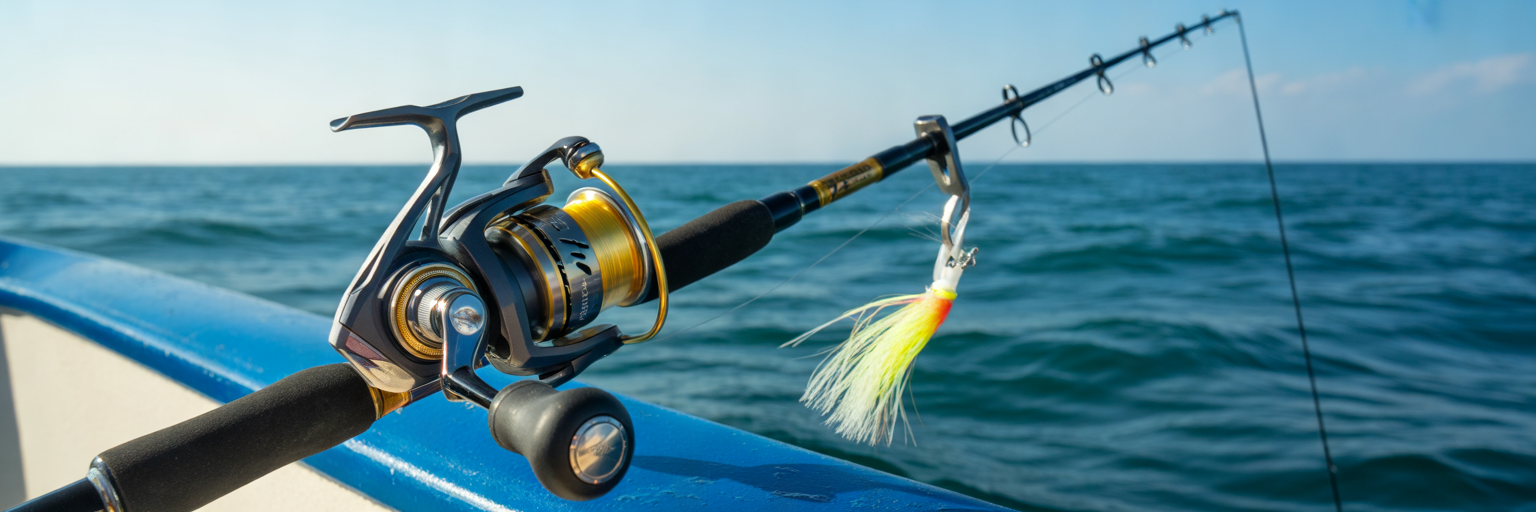
- Balance Your Troll and Pitch Tackle: Pull your main trolling spread at 6 to 8 knots using 20 to 30 pound conventional outfits rigged with skirted ballyhoo, chuggers, and a long shotgun cedar plug way back in clean water. Pair those heavy rods with at least four high speed 5000 to 6000 size saltwater spinning reels, such as a Shimano Stella SW 6000XG, spooled with 20 to 30 pound braid and 30 to 40 pound fluorocarbon leader for casting bucktails and live baits to bailers. Review our guide on dialing in braid for Florida mahi fishing to match your line capacity and knot strength to fast moving pelagic schools.
Keeping the School Lit Up Behind the Transom and Dialing In Tackle
Whether you trailer your own center console or hire a local captain, flexibility wins offshore. If you are traveling in to fish with a guide, read our breakdown on when to book a mahi charter in Florida and always build a 2 to 3 day weather window into your trip schedule. Giving your captain a few days of flexibility lets them pick the sharpest east wind or cleanest current day instead of forcing a rough ride in sloppy seas.
Before you ice down the cooler or finalize your heading out of the inlet, check live sea surface temperatures, tide exchanges, wind forecasts, and daily dockside reports right here on HookCurrent. Matching real time local intelligence with proven regional timing puts your baits directly in front of feeding fish on either coast.
Recap Key Takeaways: Focus your time on thick golden weed lines, hard floating debris, and low diving frigatebirds, strictly follow the leave one fish in the water rule with spinning pitch rods ready on deck, and check live water conditions on HookCurrent before clearing the pass.